

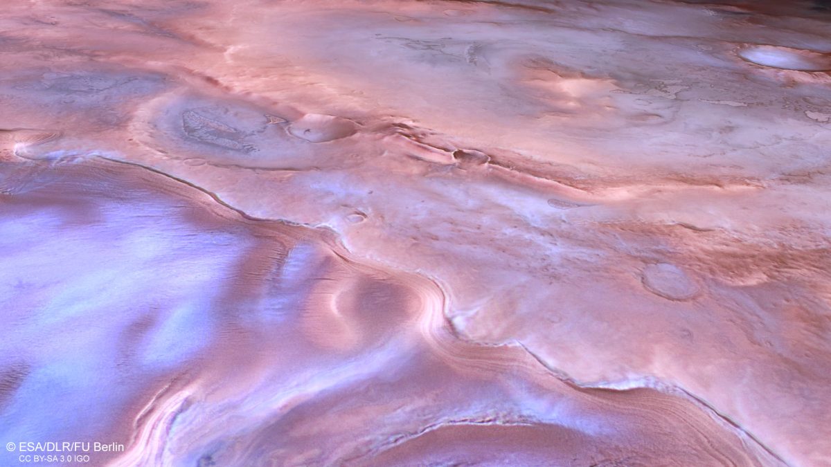
Kilometer-wide scarps cut across the southern polar region of Mars. New images of this area have revealed traces of crustal deformation that occurred billions of years ago. The cause was the cooling of the planet’s interior, after which Mars decreased in volume. Fields of dark volcanic sand lie next to the faults, dusted with frost.
Images from the Polar Latitudes
The images were obtained with the German High Resolution Stereo Camera (HRSC) on February 17, 2026, during the 27,925th orbit of Mars Express. The resolution is about 65 meters per pixel, and the center of the frame lies near 69° south latitude and 137° east longitude.
Thyles Rupes stretches for hundreds of kilometers and cuts through terrain densely covered with impact craters. This makes the scarps easy to recognize in images, as reported by the German Aerospace Center (DLR). The name comes from Thule, the legendary land beyond the known world in ancient Greek tradition, and was first applied by Italian astronomer Giovanni Schiaparelli in the late 19th century.
Older and Younger Craters
The walls of the scarps sometimes cut across impact craters, while in other places they themselves bear traces of later impacts. Both situations occur within the same frame.
This provides a way to determine relative age. Depressions beneath the scarp formed before the fault, while those lying on top of it appeared after the displacement.
A Consequence of Interior Cooling
Soon after Mars formed, it began to cool slowly from within. The planet’s volume gradually decreased, while the surface area became greater than what was needed for the smaller body.
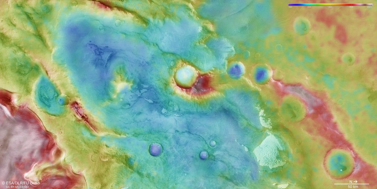
The crust folded and fractured. One block was pushed over another and rose above it, creating kilometer-scale cliffs along the boundary.
Plate tectonics does not operate on Mars; its crust is continuous and unified, so such movements arise for other reasons. The same mechanism operated on Mercury, where interior contraction produced scarps more than 600 km long.
Dunes of Volcanic Sand
The dark sand in this region is volcanic in origin, and it reaches the dunes from nearby cliffs and crater walls. The material gradually falls downward and is then transported by the wind.
It forms elongated and transverse dunes, as well as barchanoid ridges, which are interconnected crescent-shaped forms. This combination indicates that winds blew from different directions. The images were taken during Martian spring, when the sand was still covered with carbon dioxide frost.
More Than Twenty Years of Observations
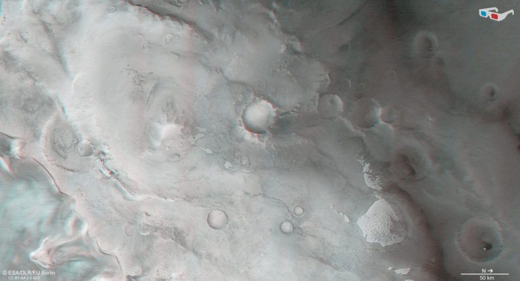
Data on the surface and atmosphere of Mars have been collected by the HRSC camera since 2004. These data are used to create color images and digital terrain models.
Such models allow scientists to reconstruct geological processes from the planet’s early history. The scientific part of the experiment is led by Daniela Tirsch of the DLR Institute of Space Research in Berlin, and the team includes 50 co-investigators from 35 institutions in 11 countries.