

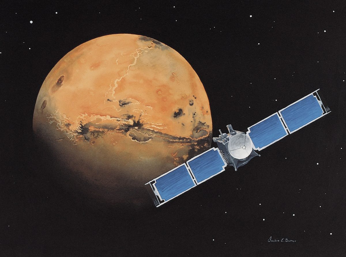
This week, on November 7, marks the thirtieth anniversary of the launch of a spacecraft to Mars to replace its predecessor, which had been lost three years earlier. It carried nearly identical instruments, enabling it to conduct most of the planned research, and the probe itself operated for several years beyond its expected mission duration. Its images helped identify landing sites for rovers, while its measurements revealed that the planet once had a global magnetic field. No previous probe had operated near Mars for as long.
Second chance
In late August 1993, engineers at NASA’s Jet Propulsion Laboratory transmitted commands to the spacecraft every twenty minutes, but it remained unresponsive. Communication with Mars Observer was lost on August 21, three days before its scheduled arrival in Mars’s orbit. This failure ultimately led to another mission that would shape research on the planet for the following decade.
No response was received, and on September 27, the mission was officially declared lost. Nearly 11 months of flight and years of preparation appeared to have been in vain.
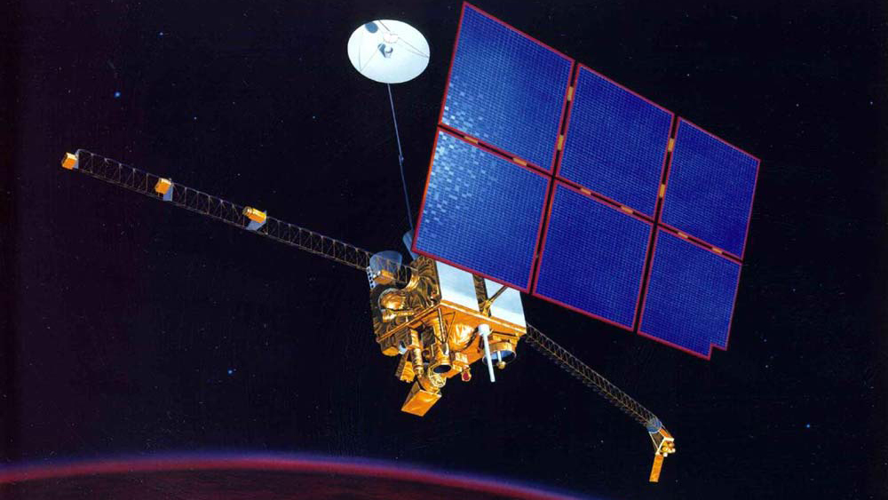
Source: NASA Jet Propulsion Laboratory
However, a spare camera intended to photograph the planet’s surface had been left behind on Earth. Most of the other instruments had already been developed, allowing copies to be manufactured with minimal modifications. These included a laser altimeter for measuring terrain elevation, a magnetometer for detecting traces of a magnetic field, and a spectrometer for determining the surface’s composition from its thermal radiation. The instruments were built; what remained missing was the spacecraft to transport them to Mars.
More cost-effective approach to returning to Mars
For NASA and the Jet Propulsion Laboratory, returning to Mars became the highest priority, as Mars Observer was scheduled to become the first American spacecraft to reach the planet in 17 years. The program was restructured around a different approach. Rather than relying on a single, costly spacecraft, NASA planned to send less expensive spacecraft to Mars every 26 months, when Earth and Mars are most favorably aligned for the journey.
The first was Mars Global Surveyor. A spare camera and copies of three other Mars Observer instruments were installed aboard, while two additional instruments were reserved for future launches.
Where can costs be reduced while maintaining the same objectives? The greatest savings were achieved by reusing existing resources. The spacecraft was redesigned, and some of its onboard electronics, as well as the camera, were repurposed from Mars Observer spare parts. Development and construction cost approximately $154 million, with an additional $65 million spent on launch. Excluding flight control costs, the total was nearly $220 million, compared with more than $800 million for the entire Mars Observer program.
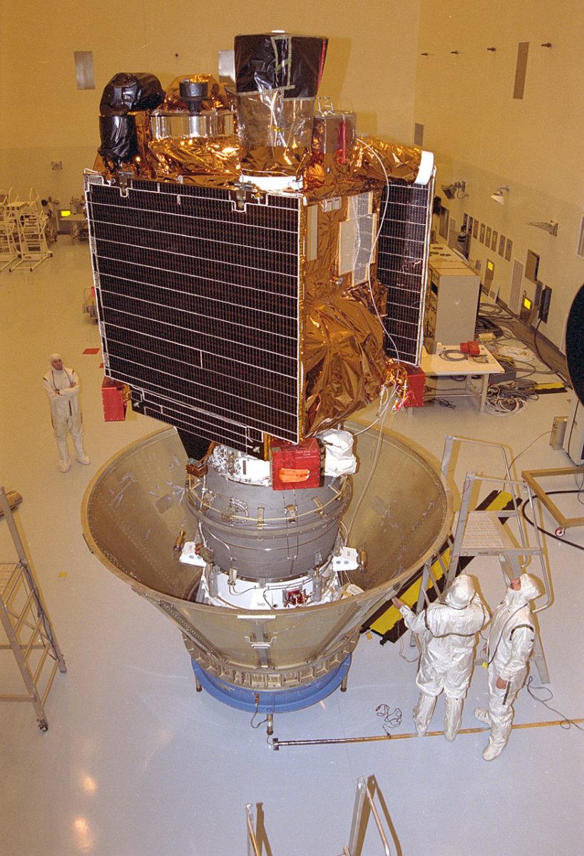
At noon on November 7, 1996, a Delta II rocket launched from Cape Canaveral, Florida. The spacecraft then embarked on a journey of nearly 750 million kilometers — five times the distance between Earth and the Sun — and covered this distance in 300 days.
Achieving operational orbit
Upon its arrival on September 12, 1997, the spacecraft entered a highly elliptical orbit. Its farthest point was 54,000 km from the surface — more than four Earth diameters away — and each orbit took 45 hours. This orbit was unsuitable for mapping: images captured from great distances provide less detail, and continuous changes in altitude cause image scale to vary. A near-circular polar orbit at an altitude of approximately 400 km was needed; in such an orbit, the spacecraft would pass over the entire surface approximately once a week.
Why not use the engine to decelerate? Doing so would require substantially more fuel and, consequently, a heavier and more expensive design. The engineers therefore opted for aerobraking. They lowered the orbit’s closest point to the planet into the upper layers of the Martian atmosphere, allowing the spacecraft to pass briefly through them on each orbit. Resistance from the rarefied gas slowed the spacecraft slightly, causing the orbit’s farthest point to descend with each pass. The entire process took four months.
However, just three weeks after the deceleration began, it became clear that one of the solar panels had been damaged. It had not locked into place properly when deployed and, under the stress of deceleration, had swung beyond its operational position. The cause was a broken damper, a component that reduces the panel’s vibrations. Continuing at the same pace would have jeopardized the spacecraft’s power supply, so the team switched to a gentler mode that placed less stress on the panel.
The process lasted more than a year, including a five-month hiatus during the spring and summer of 1998. The spacecraft finally exited the atmosphere on February 4, 1999, and mapping commenced on March 9 — nearly a year later than planned. By that time, an orbit around Mars took less than two hours.
This technique was first employed near Mars, and subsequent orbital spacecraft also used it. Upon arriving in March 2006, the Mars Reconnaissance Orbiter likewise spent several months slowing down through atmospheric braking.
These low-altitude atmospheric flybys also yielded an unexpected benefit: the magnetometer operated much closer to the Martian surface than its operational orbit would have permitted. Its data revealed traces in the Martian crust that would not have been detectable from an altitude of 400 km.
Initial discoveries from an operational orbit
The features observed in the low-angle views proved to be bands of magnetized crust, with adjacent bands magnetized in opposite directions. Earth continues to possess a global magnetic field, and Mars once had one as well. Like Earth’s, Mars’s magnetic field was generated by a planetary dynamo. Molten iron, mixed with impurities in the core, circulated as hotter material rose and cooler material sank. When an electrically conductive fluid moves within a magnetic field, it generates electric currents that sustain the field and prevent it from fading. Scientists hypothesize that Mars’s magnetic field periodically reversed polarity.
The crust, which solidified during different periods, retained the orientation of the magnetic field that existed at each time. A similar pattern is observed on the ocean floors of Earth, where new crust continually forms and gradually moves apart. This has led scientists to hypothesize that comparable processes may have occurred on ancient Mars. When the core cooled, the global magnetic field disappeared, but its imprint remained preserved in the oldest sections of the southern hemisphere’s crust.
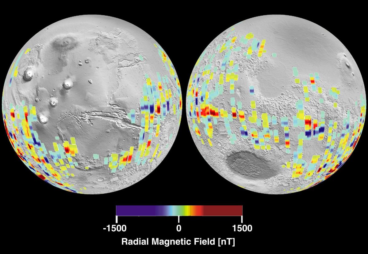
Other instruments demonstrated their capabilities after entering operational orbit. During mapping operations, a laser altimeter measured the elevation of the surface beneath the spacecraft. These measurements were then used to create a topographic map of the entire planet. During the first three years of operation, more data about Mars was transmitted to Earth than had been transmitted by all previous missions combined.
Scientists have debated the gullies for many years. In June 2000, the camera team reported narrow channels on crater slopes that resembled flow marks. Many scientists speculated that these features had been carved by liquid water. Only extended observation could provide an answer, so more than one hundred locations containing gullies were imaged again to detect changes. On the slope of one sand dune, new gullies appeared that had not been present in 2002. They formed in loose sand rather than in the crater’s rocky wall, leading Michael Malin, the camera’s principal investigator, to believe that liquid water was unlikely to have played a role. Thus, the shape of a gully alone does not prove that water flows on Mars, and scientists have long been unable to reach a consensus on the origins of various gullies.

Detailed imagery also put an end to a longstanding legend. In an image captured by the Viking 1 lander in 1976, a hill in the Cydonia region appeared to resemble a human face and was believed for years to be a remnant of an ancient civilization. High-resolution images captured by the Mars Global Surveyor camera revealed it to be an ordinary hill of natural origin. The camera could resolve surface features as small as a few meters, and this level of resolution later proved essential in identifying flat, safe landing sites for the Mars rovers.
Reconnaissance rover for Mars exploration
In January 2001, the primary mission of Mars Global Surveyor — which was designed to last one Martian year, or 687 Earth days — concluded. However, the spacecraft remained operational, and successive mission extensions were approved. At the same time, NASA was preparing two rovers, Spirit and Opportunity, for launch and identifying potential landing sites.
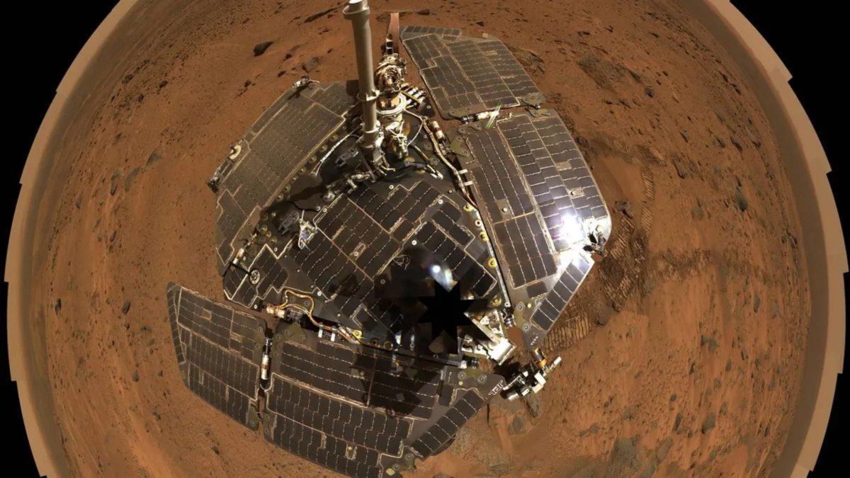
Spectrometer data proved particularly useful in this context. Analysis revealed concentrations of hematite — an iron oxide mineral — on Meridiani Planum, where it occasionally comprised up to one-fifth of the surface material. Because hematite often forms in the presence of liquid water, the plain may preserve evidence of ancient water, which contributed to its selection as a landing site for Opportunity.
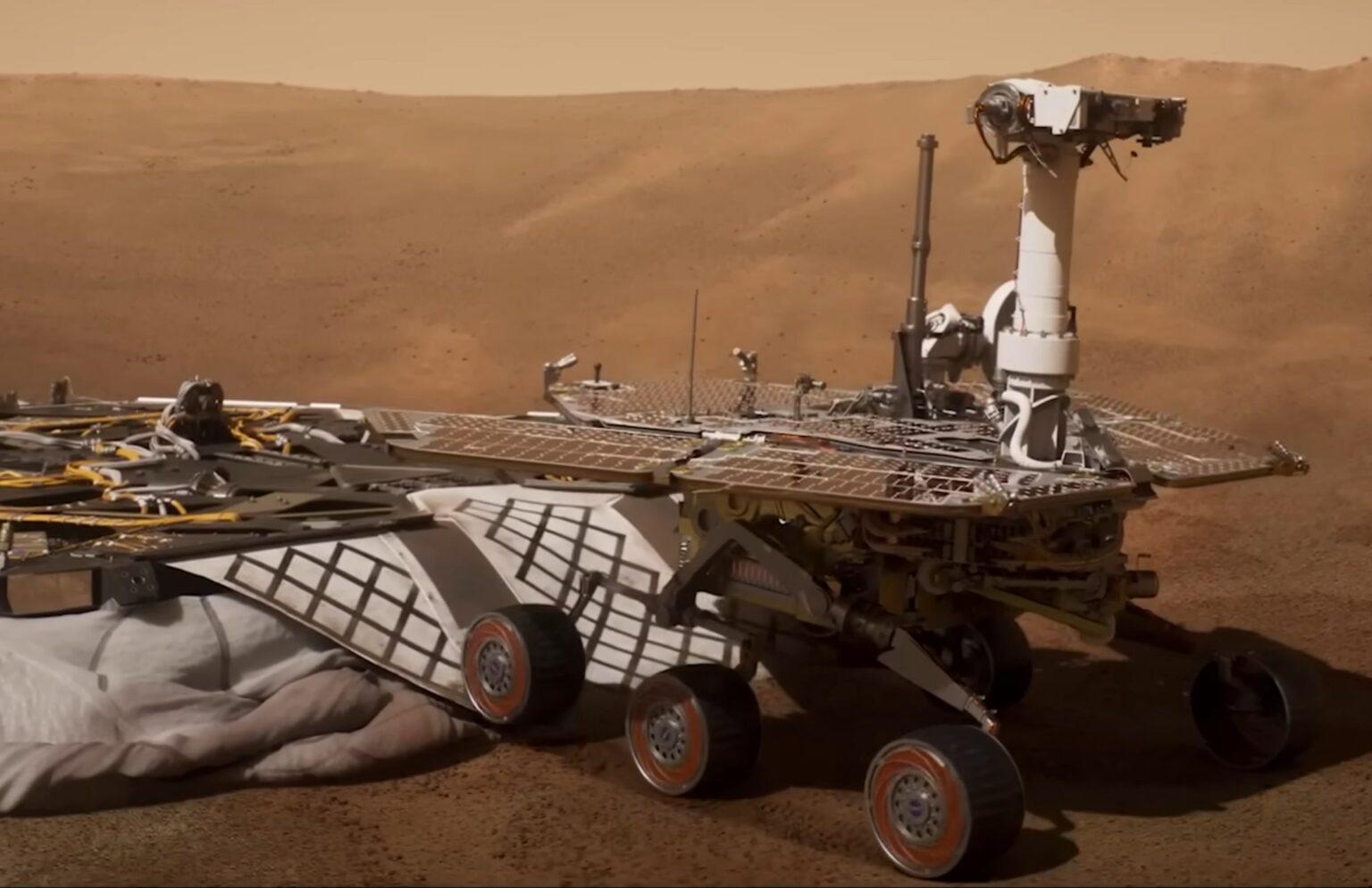
For Spirit, the mineral maps helped identify another location: Gusev Crater. Subsequent observations by Spirit revealed volcanic rocks there that were rich in olivine. Because this mineral breaks down rapidly in water, these rocks most likely had not been exposed to water for an extended period.

Image credit: NASA / JPL / Cornell / ASU
In the summer of 2003, both rovers embarked on their journeys to Mars. Spirit landed in Gusev Crater on January 4, 2004, while Opportunity landed on Meridiani Planum three weeks later, on January 25. Mars Global Surveyor was still operating in orbit, and some rover data were relayed to Earth through the spacecraft. Meridiani Planum proved to be a sound choice, as Opportunity found evidence in the rocks that they had once formed in water or had been submerged for an extended period.
The extended mission also revealed phenomena that would not have been observable within a single Martian year. As with the newly formed gullies on the dune, follow-up images revealed a fresh impact crater and evidence of rocks that had rolled down the slope of another crater between 2003 and 2004. These observations demonstrate that the surface of Mars continues to change, and that these changes are sufficiently pronounced to be visible in images taken several years apart. “Most of the discoveries we’ve made have come during the extended mission,” Michael Malin said in 2005.
The final days in orbit
The spacecraft had been in orbit for nine years when, in June 2006, its antenna-pointing parameters were updated. Due to an error, some of the data were written to the wrong memory location. Consequently, the solar panel rotation limits were disabled, and the antenna’s backup orientation was misaligned. This issue went unnoticed for the following five months.
The consequences became apparent on November 2. Following another command to turn, one of the panels struck the stop. The safety system, designed to prevent the panel from jamming, activated and switched the spacecraft to backup mode. The final signal was received that same day.
In standby mode, one of the batteries was exposed to direct sunlight and began to overheat. The onboard algorithm interpreted the overheating as a sign of overcharging, causing the charging process to shut down automatically. Meanwhile, the antenna was not pointed toward Earth, preventing the transmission of data about the problem. After approximately 11 hours, the batteries were depleted, leaving insufficient power to maintain the spacecraft’s orientation. A NASA commission later determined that the team had followed the instructions; however, those instructions did not include a check capable of detecting such malfunctions.

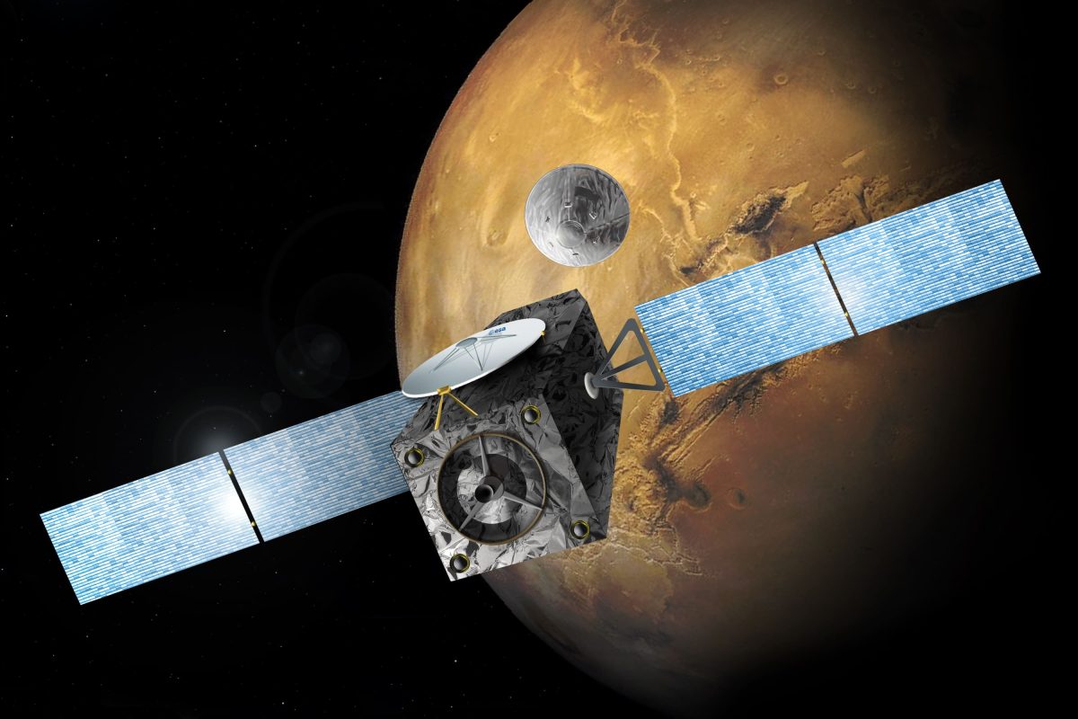
Mars Global Surveyor operated in its working orbit for nearly eight years. When communication was lost, five other spacecraft remained active near Mars and on its surface, making it the oldest among them. One of these was the Mars Reconnaissance Orbiter, which assumed responsibility for mapping and transmitting data from the surface. The Mars Global Surveyor mission began following the failure of its predecessor and ended because of an error that the procedures in place at the time failed to detect. In the intervening years, scientists produced a precise topographic map of the entire planet, enabling subsequent spacecraft to be directed to areas that had already been studied in detail from orbit.
