
The LuGRE device, delivered to the Moon by the Blue Ghost spacecraft, was able to receive GPS signals. This achievement is of great importance for the future implementation of the Artemis program.
GPS on the Moon
NASA and the Italian Space Agency made history on March 3 when the Lunar GNSS Receiver Experiment (LuGRE) made the first technological demonstration of receiving and tracking navigation signals on the surface of our moon.
The success of the LuGRE payload in lunar orbit and on the lunar surface provides evidence that signals from the Global Navigation Satellite System (GNSS) can be received and tracked on the Moon. These results mean that NASA’s Artemis missions or other exploration missions can take advantage of these signals to accurately and autonomously determine their position, velocity, and time. This is a stepping stone to advanced navigation systems and services for the Moon and Mars.
“On Earth, we can use GNSS signals to navigate everything from smartphones to airplanes,” said Kevin Coggins, deputy associate administrator for NASA’s SCaN (Space Communications and Navigation) program. “LuGRE now shows us that we can successfully receive and track GNSS signals on the Moon. This is a very exciting discovery for lunar navigation and we look forward to using this capability for future missions.”
Success story of the experiment
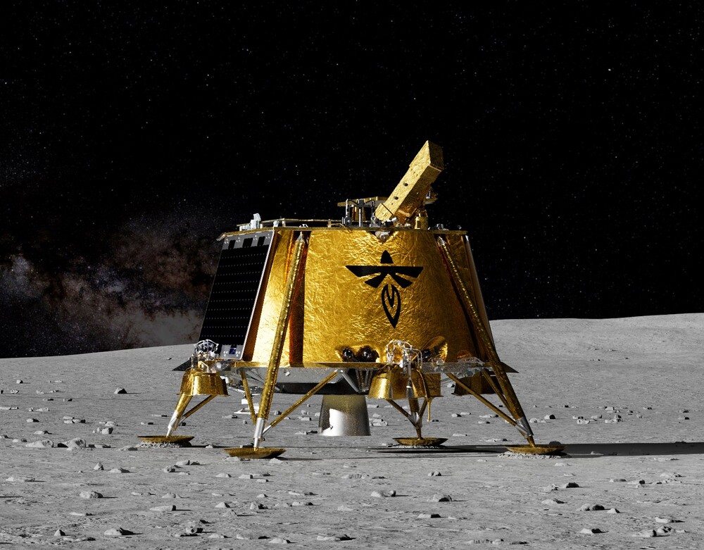
The journey to this historic milestone began March 2 when Firefly Aerospace’s Blue Ghost lunar landing module descended on the Moon and delivered the LuGRE vehicle, one of 10 NASA payloads designed to advance lunar science. Well after landing, LuGRE payload operators at NASA’s Goddard Space Flight Center in Greenbelt, Maryland, began their first science operation on the surface of the Moon.
As the data from the receiver comes in, expectations rise. Will the lunar mission be able to receive and track signals from the two GNSS constellations, GPS and Galileo, and use these signals to navigate the lunar surface?
Then, at 2 a.m. ET on March 3, it became official: LuGRE received and tracked signals on the surface of the Moon for the first time in history and achieved a navigational fix — at about 340,000 kilometers from Earth.
Records of the LuGRE experimental receiver
With Blue Ghost now on the Moon, the mission will operate for 14 days, giving NASA and the Italian Space Agency the opportunity to collect data in near-continuous mode, leading to new progress in GNSS development.
The LuGRE payload also broke GNSS records during the lunar mission. On January 21, LuGRE surpassed the highest GNSS signal reception altitude ever recorded at 343,000 km from Earth, a record previously held by NASA’s Magnetospheric Multiscale Mission. The altitude record continued to grow when LuGRE entered a near-lunar orbit — 70,000 km from Earth — on February 20. This means that missions in near-lunar space, the region of space between the Earth and the Moon, can also rely on GNSS signals for navigational reference.
Prospects for GNSS use
Traditionally, NASA engineers track spacecraft using a combination of measurements, including onboard sensors and signals from ground-based tracking stations. The LuGRE payload shows that using GNSS signals for navigation can reduce dependence on human operators since these signals can be received and used by the spacecraft autonomously, even at a distance from the Moon.
The LuGRE payload is a joint effort between NASA’s Goddard Space Flight Center in Greenbelt, the Italian Space Agency, their industrial partner Qascom and the Politecnico di Torino.
According to phys.org
