

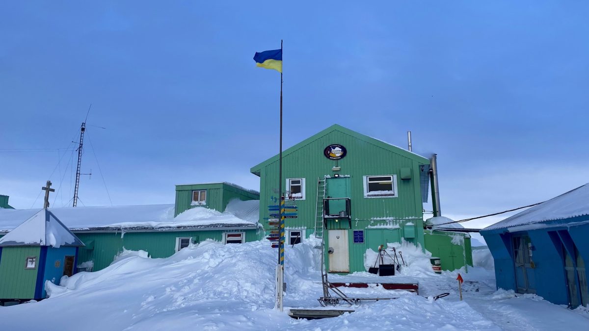
Moist air arrives from the tropics at the Antarctic Peninsula and triggers melting. This happens even when precipitation falls entirely as snow. That is what modeling of individual heavy-precipitation events around the Akademik Vernadsky station has shown. At the same time, autonomous buoys have provided the first year-round picture of what is happening in the Bransfield Strait. The water there turned out to be warmer and less saline throughout the water column than indicated in long-term reference data.
Melting Without Rain
During 2025, researchers modeled 11 episodes of extreme precipitation around the station. Over land, all of it fell as snow, with more than 140 mm accumulating on the windward mountain slopes.
Despite this, the narrow coastal strip still lost part of its cover. Temperatures near zero produced from 2 to 30 mm of meltwater and runoff.
In climate projections where rain is considered the trigger for melting, the risk to coastal areas is underestimated, even though a significant share of the continent’s terrestrial biodiversity depends on them.
Rivers in the Atmosphere
Atmospheric rivers are narrow corridors of air that transport moisture and heat from low latitudes toward the polar regions. In East Antarctica, they tend to contribute to ice accumulation because they bring snow. On the Antarctic Peninsula, the effect is the opposite because the air masses arrive too warm.
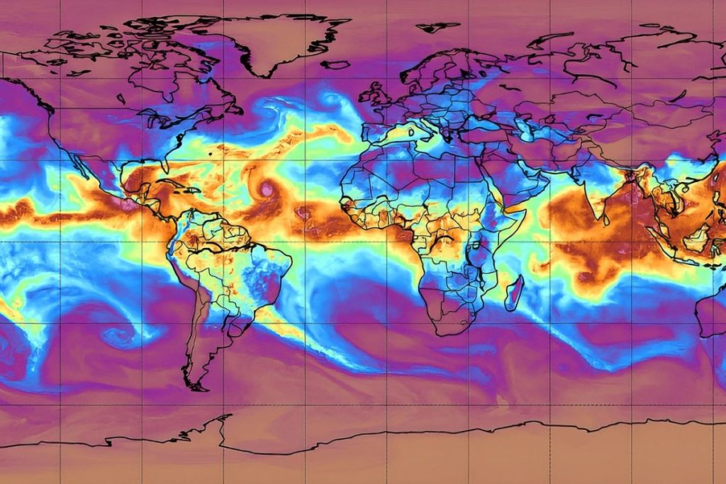
In February 2022, one such event raised the temperature near the Akademik Vernadsky station to a record +12.7°C and caused extensive surface melting. Similar processes preceded the collapse of the Larsen A Ice Shelf in 1995 and Larsen B in 2002, according to the OCEAN:ICE project report.
Project Context
The name OCEAN:ICE stands for ocean–cryosphere exchange in Antarctica and its impact on the climate and Earth system. The work is funded by the Horizon Europe program, began in November 2022, and will be completed at the end of October 2026.
The project includes 18 partners led by the Danish Meteorological Institute. Ukraine’s contribution focused on two areas: precipitation modeling and oceanographic measurements near the Antarctic Peninsula.
Buoys Beneath the Ice
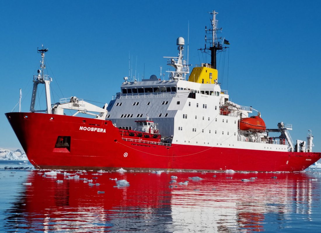
In March 2025, a team from the National Antarctic Scientific Center deployed six ice-capable Argo floats from the ice-class research vessel Noosfera. For Ukraine, this was the first such experience.
The instruments were configured to drift at a depth of 1,500 m and descend to 2,000 m. Because the water depth at the deployment sites turned out to be shallower, the floats settle on the seafloor between measurements and do not drift.
By April 2026, they had collected 273 profiles, including the first long-duration winter observations beneath the ice.
Fresher and More Dynamic
Comparison with long-term reference data revealed a discrepancy. In summer, the surface layer warmed to about +2°C, compared with +1.7°C in the long-term record, while peak values reached 2.7°C. Deep layers in the western part of the strait were about 0.5°C warmer than average, at −1.2°C instead of −1.7°C.
At a depth of 400 m, samples showed noticeably lower salinity. The boundary where waters from the western side of the peninsula meet waters from the Weddell Sea shifts from season to season, although it had previously been considered stable. The position of this boundary affects nutrient distribution and heat transport in this part of the Southern Ocean.
What This Changes
Data on the melting regime of the ice sheet and the state of the ocean are incorporated into models that forecast sea-level rise. These models underpin risk assessments for coastal cities around the world.
The report’s authors recommend continuing measurements in the strait and installing additional instruments where the water-mass boundary shifts most strongly. The next step belongs to model developers, who will need to account for melting that begins without a single drop of rain.