

For 13 years, astronomers from NSF NOIRLab worked to create the largest two-dimensional map of the Universe ever made. It covers about 75% of the sky and contains nearly 4 billion objects — stars, galaxies, and black holes. The map is already publicly available and has become an integral part of modern astronomical research.
Observations were carried out using two telescopes: the U.S. National Science Foundation’s Mayall Telescope and the Blanco Telescope, equipped with the 570-megapixel Dark Energy Camera. A total of 263,407 images were collected. They were combined into an image containing 5.6 trillion pixels. More than 160 scientists contributed to the DESI Legacy Imaging Surveys project.
What the New Map Shows
The survey was conducted in visible and near-infrared light. This makes it possible to “see through” the dust and stars of the Milky Way and look deeper into space. The map shows the positions and brightness of objects — exactly what is needed for the next step: creating the largest three-dimensional map of the Universe with the DESI spectroscopic instrument.
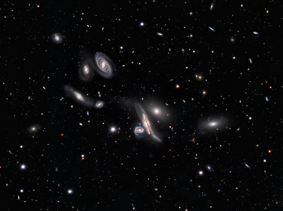
DESI has already completed its primary mission ahead of schedule and mapped more than 47 million galaxies and quasars. Scientists are now analyzing these data to better understand dark energy and the history of the Universe’s expansion.
The Sky Belongs to Everyone
“Today, people working with astronomical objects usually begin by opening the Legacy Imaging Viewer to understand exactly what they are looking at,” said David Schlegel, co-leader of the project at Lawrence Berkeley National Laboratory.
Arjun Dey of NSF NOIRLab added: “The sky belongs to everyone, and this survey gives everyone the opportunity to enjoy its wonders.”
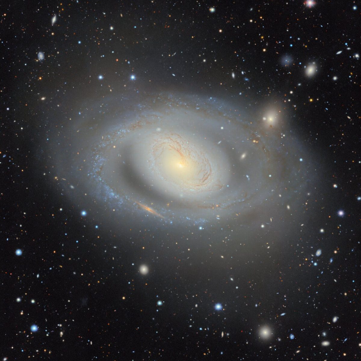
Researchers believe that this updated two-dimensional map will remain the most comprehensive of its kind for the next several years.
More than 1,800 scientific papers have already been published using Legacy Surveys data. The map will also serve as an important reference for next-generation telescopes, including the Vera C. Rubin Observatory with its 3.2-gigapixel camera.
We previously reported on how a colossal map of the sky contains data on a billion galaxies.
According to noirlab.edu