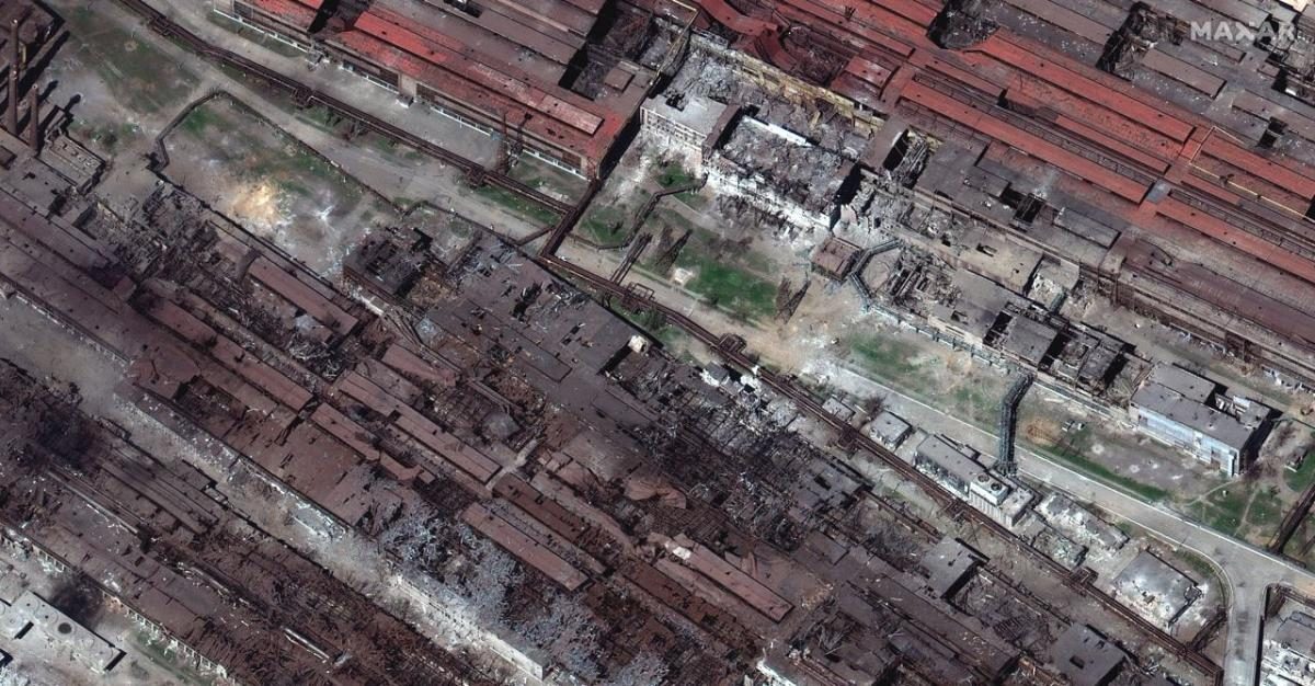
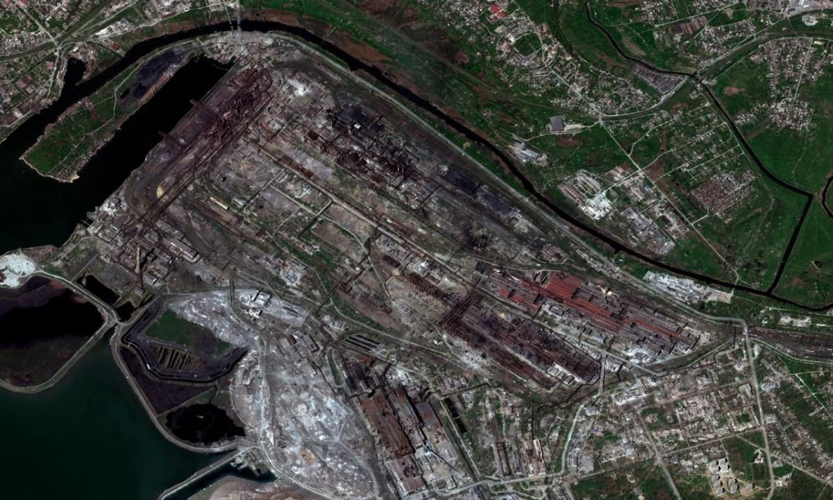
Maxar Technologies has published a series of images taken by one of its satellites. In the photos dated April 29, you can see the Metallurgical Combine Azovstal, on the territory of which the defenders of Mariupol and civilians are sheltering.
#Satelliteimagery provides a detailed visual perspective of the devastation seen in the industrial parts of Mariupol, Ukraine. The Azovstal steel plant, site of the Ukrainians last military holdout, is also serving as a civilian shelter. #Maxarimagery is from April 29, 2022. pic.twitter.com/rswKMNPOAu
— Maxar Technologies (@Maxar) April 30, 2022
Satellite images clearly demonstrate the consequences of the constant shelling and bombing of Azovstal by the Russian army. Some buildings are completely destroyed, others have large holes in the roofs. It can also be noticed that many of the residential and government buildings adjacent to the factory complex have turned into ruins.
Satellite images confirm that public statements about the decision not to storm Azovstal were lies, and in fact, Russian troops continue to attack the territory of the plant regardless of any means. According to the defenders of Mariupol, they cannot reach some shelters and bunkers due to the fact that they were under the rubble due to constant bombing. The fate of the people trapped there (among whom there are children) remains unknown.

This is not the first time that Maxar satellites have photographed the consequences of military actions and crimes of the Russian military. So, in March, they showed a flood on the Irpen River. And recent satellite images have revealed the places of mass graves that appeared after the Russian occupiers entered Mariupol.
Follow us on Twitter to get the most interesting space news in time
https://twitter.com/ust_magazine
