On April 23, the Ingenuity drone helicopter made its 27th flight. During this mission, the spacecraft performed two tasks at once: moved closer to the remains of an ancient river delta (scientists hope that there may be evidence of ancient life in its rich geological deposits), and also conducted aerial reconnaissance for the Perseverance mission support group, which is engaged in planning the rover’s route.
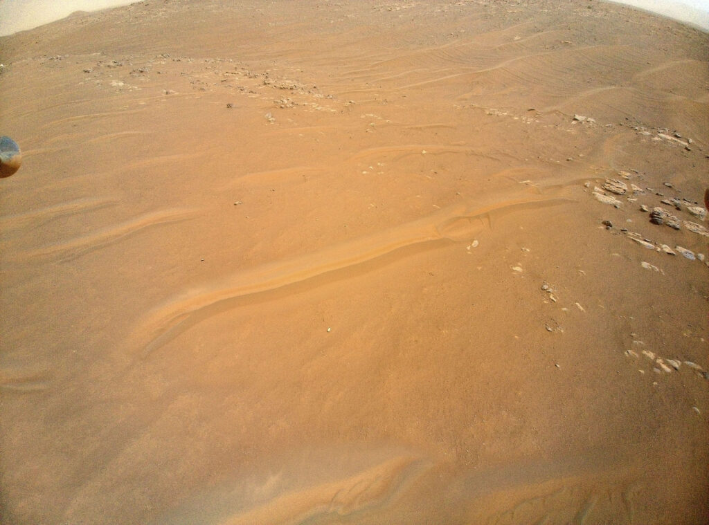
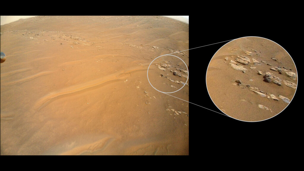
The purpose of the Ingenuity cameras was the Fortune Ridge, located in the vicinity of the already mentioned delta. The formation has attracted the attention of scientists because the available data suggest that it is the boundary between the two main rocks at the bottom of the Jezero crater.
The available images of the Jezero crater suggest the presence of a slope of rock layers in this area, which is rare for Mars (unlike Earth, where plate tectonics and earthquakes cause a slope). Now the researchers plan to compare the images obtained by Ingenuity with data on another inclined Martian ridge located in a neighboring region called South Séítah. This will help to better understand the history of the bottom of the Jezero crater and what forces influenced it billions of years ago.
Recall that Ingenuity recently photographed the upper part of the protective casing and the landing parachute dropped by the Perseverance rover during landing in February 2021. The data obtained during their analysis will help designers of future Martian missions involving the delivery of soil samples of the Red Planet to Earth.
According to https://mars.nasa.gov
Follow us on Twitter to get the most interesting space news in time
https://twitter.com/ust_magazine
