After the devastating earthquake that occurred in Turkey and Syria on February 6, the United Nations launched its emergency satellite mapping service. The 7.8-magnitude earthquake caused widespread destruction across Turkey and northwestern Syria, killing more than 3,700 people and injuring more than 15,000, Reuters reports.
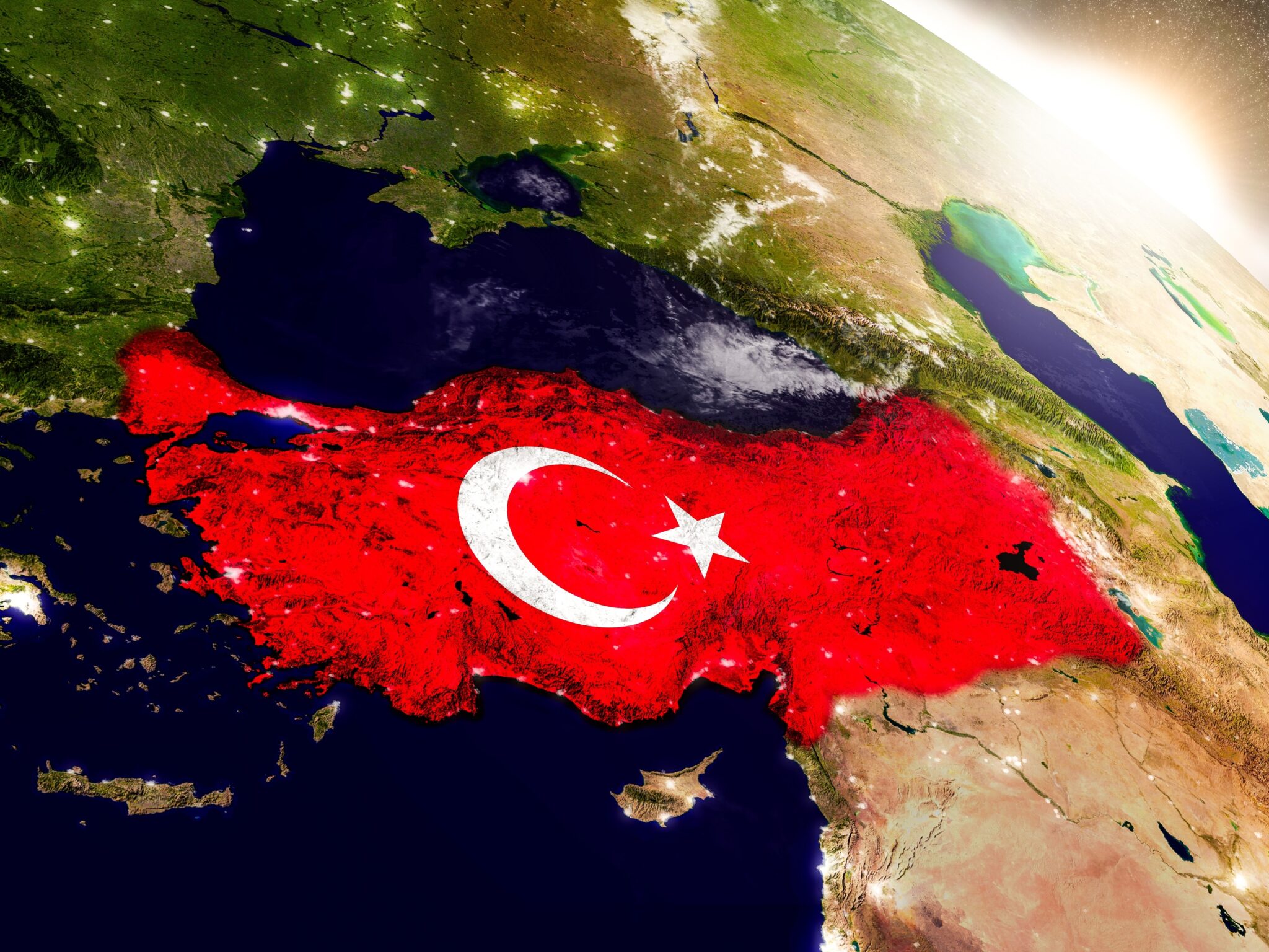
The epicenter of the earthquake was recorded at a depth of 18 kilometers west of Gaziantep, the US Geological Survey reports. After the devastating earthquake, the UN Satellite Center UNOSAT reported that they activated the emergency cartography service, which “provided analysis of satellite images during humanitarian emergencies related to disasters, complex emergencies and conflict situations”.
The Emergency Mapping service is activated for both #earthquakes (#deprem) that struck #Turkey today.
Check the dedicated webmap for the latest updates
????️➡️https://unosat.org/products/3480You can also send ground pictures via UN ASIGN ????https://asign.cern.ch/ pic.twitter.com/I2VDLz1TvF
— UNOSAT (@UNOSAT) February 6, 2023
Thanks to the emergency mapping activated by the UN, search and rescue operations will be greatly facilitated. The collected UNOSAT data will be provided to government agencies, aid organizations such as the Red Cross and Red Crescent, as well as non-governmental humanitarian organizations.
BREAKING: Death toll from Turkey-Syria earthquake passes 3,000, more than 15,000 injured pic.twitter.com/K4iwrQgoE6
— BNO News (@BNONews) February 6, 2023
UNOSAT started in 2001. It is hosted by the European Organization for Nuclear Research or CERN. Its original purpose was to provide the UN with satellite analysis and training for UN member States. In 2003, the center expanded to provide rapid mapping services for humanitarian events. The center does not have its own satellites, but coordinates work with UN member states to collect images from their spacecraft and satellites from commercial companies.
Earlier we reported how the NASA InSight spacecraft felt four marsquakes from falling meteorites.
Follow us on Twitter to get the most interesting space news in time
https://twitter.com/ust_magazine
