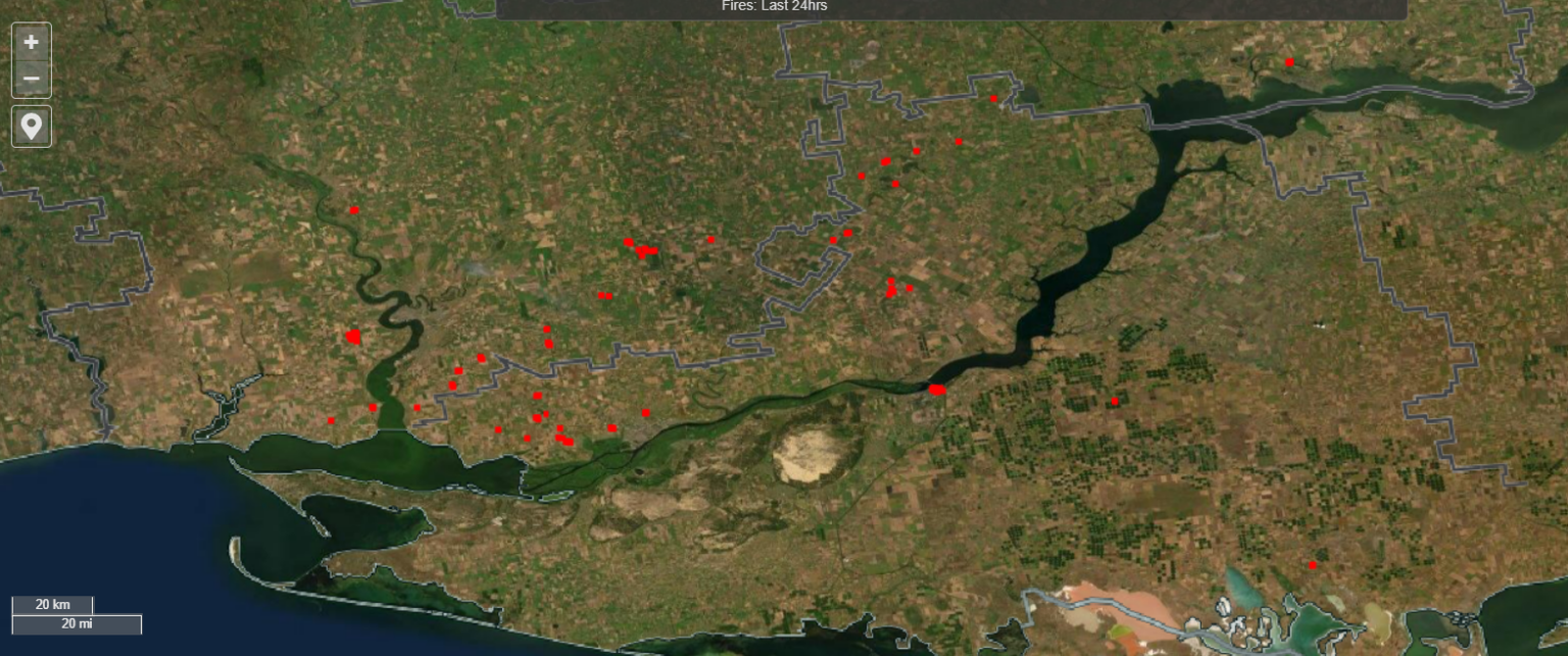
The FIRMS fire tracking system shows fires in the fields of Ukraine. Most of them are located near the front line. One possible explanation may be the systematic destruction of the Ukrainian harvest by the Russians.
Fires in the fields of Ukraine
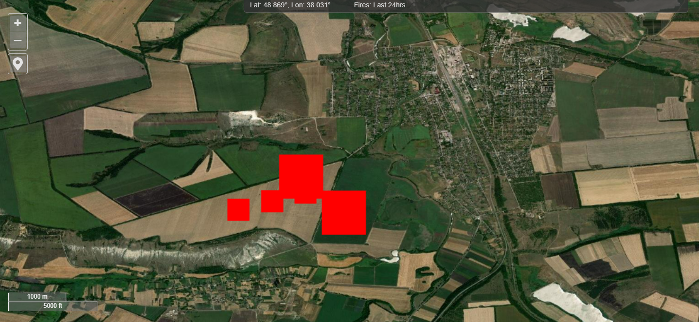
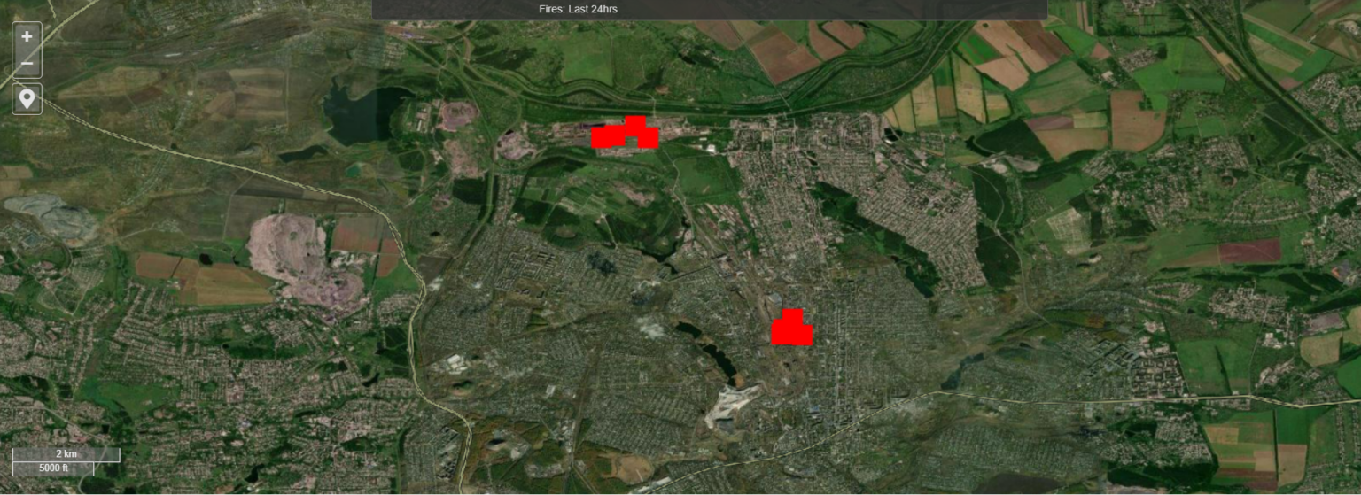
Fire Information for Resource Management System or FIRMS is a system created by NASA to monitor large-scale fires on the Earth’s surface. Thanks to two satellites: Aqua and Terra, they can track significant areas of flame almost in real time. And thanks to integration with Earth surface surveillance systems, it is possible to observe fire in relation to the terrain on which it occurs.
Thanks to this, it is possible to get geospatial information from FIRMS about what is burning and under what conditions. At the same time, anyone who visits the site with a map can use them. And in Ukraine, you can see a lot of interesting things on this site.
In particular, it can be seen that the vast majority of large-scale fires in Ukraine are now concentrated along the front line. Exploding shells in the fields cause large-scale fires. For example, a lot of them are noticeable in the Kherson region, where fighting takes place in an arid climate.
What can be tracked for FIRMS in Ukraine
A lot of different conclusions can be drawn from the FIRMS map. For example, such that Russians systematically burn Ukrainian bread. Despite the retreat of the invading troops from Snake Island, the war for the supply of grain to the world continues. Russia, like Ukraine, is one of the world’s largest exporters of it. Therefore, it is interesting that the grain, if it cannot be stolen, simply burned.
However, many other interesting conclusions can be drawn from the map. For example, you can use it to track where exactly and with what intensity the fights are taking place. Yes, there are relatively few serious sources of fire in the Zaporizhzhya region, or they are completely absent.
Fires away from the collision line are no less interesting. They can indicate the points where Russian missiles hit Ukrainian civilian targets. At the same time, in recent days, FIRMS has been increasingly recording fires breaking out in the depths of the territories captured by the Russians. It is quite possible that their occurrence is connected with the appearance of HIMARS missile systems in the Ukrainian military. Therefore, each such point on the map can mean the destroyed important object of the invaders.
According to firms.modaps.eosdis.nasa.gov
Follow us on Twitter to get the most interesting space news in time
https://twitter.com/ust_magazine
