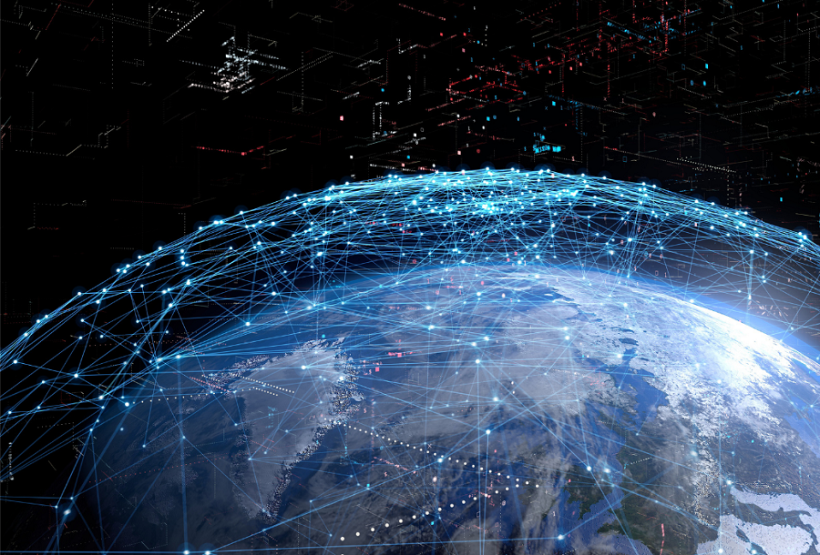
The boom in satellite images of the Earth’s surface has caused a huge requirement for processing this data. Now geospatial information is needed not only by people who are interested in the war in Ukraine. Financial analysts are also willing to buy information about what is happening at different enterprises.
Geospatial information is a commodity of the future
One of the main consequences of the Ukrainian-Russian war was the widespread use of satellite images of the Earth’s surface from commercial operators. However, just getting millions of images is not enough. We still need to figure out what is depicted, in what conditions and where. And it is this information that is becoming the newest and most in-demand commodity in the world of big money.
For example, as soon as Elon Musk launched a huge Tesla electric car factory in Austin, Texas. And investors who have invested their money are already ordering information from satellite images from BlackSky about what is happening there. Because to understand the real situation, the number of cars in the production parking lot means much more than all financial analytics.
Or, for example, sending cargoes. Now large companies can check where the planes that carry their orders are located directly in the air. It also happens to traders who deal with food. The war in Ukraine caused a real panic in the grain and sunflower markets. But now traders can make sure which fields are sown and assess the prospect of future prices.
Crisis that opened the way for new industry
Opportunities for turning satellite information into an important commodity have existed for a long time. However, before the start of the war in Ukraine, no one was particularly interested in this possibility. But the inability to get information in other ways forced everyone to use this method.
The military, both American and Ukrainian, receive these images on a regular basis. But now it has become obvious to others that many issues that previously could only be solved by visiting directly on the spot are solved by careful study of the images.
And the images have become available not only to the military. This is clearly evidenced by the presentations of 15 companies held at the GEOINT symposium in Aurora, Colorado. Its participants insist that satellite information can be used not only to study the progress of Russian tank columns, but also to analyze climate change.
Satellite image analysis is a new challenge for companies
It is important to understand that satellite images are not geospatial information. It still needs to be extracted from them. And ways to do this as efficiently as possible is a new challenge for everyone involved in data analysis.
There have been few satellite images so far. And they were used mainly by the military. Therefore, the processing was performed mainly manually. But now the number of satellites and the complexity of the tasks for them need more speed. After all, it is possible to quickly find an event in the image of one satellite and tell another to check the information about it by scanning this place again.
That is why artificial intelligence is gradually being used to analyze data. Over the past decade, neural networks have learned to analyze numerous pictures and find certain images on them. This experience is quite applicable not only to search for geospatial information about individual objects, such as the movement of grain ships and sown fields, but also to analyze how they interact with each other.
According to spacenews.com
