

This summer, a spacecraft entered Earth orbit whose trajectory immediately puzzled specialists in several countries. It is moving in such a way that the entire ring occupied by communications and military reconnaissance satellites will gradually come within its field of observation. The official mission description was limited to a few words about studying the space environment. Independent analysts are convinced that its actual purpose is different.
An Unusual Trajectory
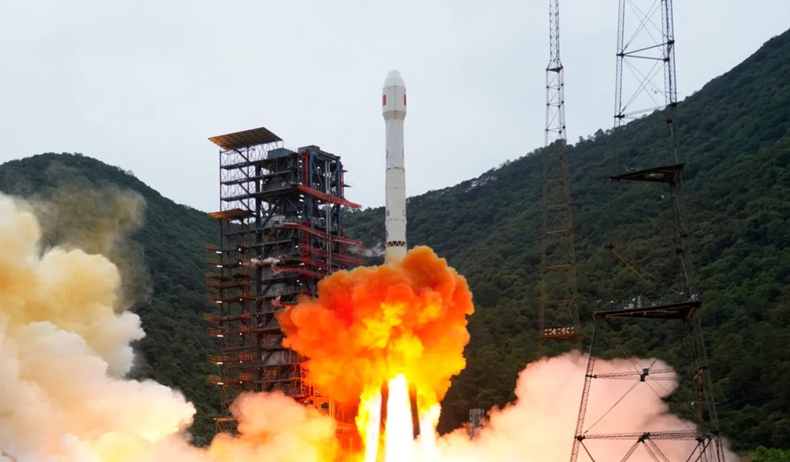
Shijian-31 was launched on June 16 aboard a Long March 3B rocket from the Xichang Satellite Launch Center. The China Aerospace Science and Technology Corporation, or CASC, described its purpose in a single sentence about studying the space environment and released no images of the satellite.
Aviation warnings and the type of launch vehicle indicated a geostationary transfer orbit. Observers later detected the spacecraft moving along a highly elliptical Molniia-type orbit already used by several other Chinese satellites. This time, however, the familiar configuration was applied in a way that had never been seen before, SpaceNews reports.
The Principle Behind the Established Orbit
The inclination of 63.4° is special for such orbits. At this angle, the equatorial oblateness of the Earth causes almost no precession of the argument of the perigee, so the position of the apogee remains practically unchanged. If the inclination were different, the elongated ellipse would gradually rotate in its own plane under the influence of the non-uniform gravitational field of the Earth. As a result, the apogee would shift to other latitudes, and fuel would have to be regularly consumed to maintain the desired geometry of the orbit.
In the conventional use of this orbit, the farthest point lies over the Northern Hemisphere. The spacecraft remains visible from high latitudes for several hours at a time, allowing a pair of such satellites to maintain continuous communications over the Arctic and detect the thermal signatures of missile launches.
Surveying the Geostationary Belt
In the case of Shijian-31, the apogee is located not over northern latitudes but in the equatorial region. This is precisely where the geostationary belt lies, at an altitude of approximately 35,786 kilometers, occupied by communications, reconnaissance, and early-warning satellites.
Its orbital period is 12.5 hours rather than the 12 hours typical of this configuration. Because of this difference, each successive orbit shifts by approximately 15.7 degrees in longitude, allowing the entire belt to enter the spacecraft’s field of view over 23 days.
The highest point of the orbit is approximately 39,900 kilometers, several thousand kilometers above the belt itself. This approach provides a complete view without requiring close approaches to foreign spacecraft, which are the maneuvers that usually provoke diplomatic protests.
Analysts’ Assessments
Integrity ISR was the first company to draw attention to the unusual trajectory in a June 26 publication based on data from the Space-Track catalog. A month later, the observations were confirmed by ComSpOC, a company that monitors activity in near-Earth space and described it as an orbit unlike anything previously seen.
It will be difficult to see the device itself and determine its design or payload. Its perigee is slightly below 2,000 kilometers, far above most imaging spacecraft in low Earth orbit, while thousands of kilometers separate it from U.S. inspection satellites operating near the geostationary belt.
At the same time, descending to the geostationary satellites themselves would not be difficult. A braking maneuver at perigee involving a velocity change of only 50 meters per second would lower the apogee to approximately 36,671 kilometers. The resulting trajectory would pass directly through the belt’s operational zone, while requiring very little fuel.
Competition above the Equator
Victoria Samson, an expert at the Secure World Foundation, described the mission in comments to SpaceNews as highly unusual and difficult to characterize based on the currently available data. She noted that the spacecraft had been in orbit for only a month, so its subsequent behavior could reveal much more.
The mission is likely part of a broader trend toward the deployment of inspection satellites and growing attention to activity at geostationary altitudes. The United States operates the Geosynchronous Space Situational Awareness Program, or GSSAP, in this region. Russia relies on Luch-2 after the failure of its previous spacecraft in January, while China has previously explored even more unconventional options, including a lunar swing-by to enter a retrograde geosynchronous orbit.