

The most detailed radio survey in the history of astronomy has been completed. The observations continued for almost a decade and covered virtually the entire celestial sphere accessible to the enormous array of antennas in the state of New Mexico. For the first time, the resulting map has achieved a level of sharpness comparable to that of modern optical and infrared images.
Scale of the Survey
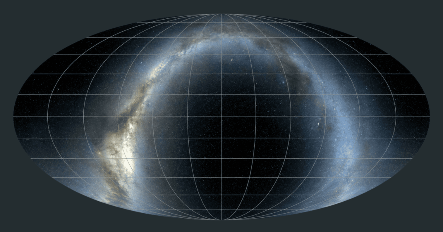
The work was carried out using the Very Large Array (VLA) radio interferometer, and the survey was therefore named VLASS. According to the U.S. National Radio Astronomy Observatory (NRAO), the antennas scanned the sky from September 2017 to February 2026.
The total coverage reached approximately 34,000 square degrees. This represents virtually the entire portion of the celestial sphere visible from the instrument’s location. The volume of raw data is approximately 0.5 petabytes, while the complete collection of processed materials is expected to reach 2 petabytes. In terms of the amount of information collected, this is the largest survey in the history of the VLA.
Record-Breaking Detail
The images have a resolution of approximately 2.5 arcseconds. This is a record among full-sky radio surveys. Signals were received at frequencies ranging from 2 to 4 GHz, enabling astronomers to determine the spectral indices of sources and identify the physical nature of their emission.
According to VLASS Operations Lead Amy Kimball, this makes multiwavelength studies possible at a level of detail that was previously unattainable. The previous major program conducted with the same interferometer, the NVSS survey of the 1990s, could resolve details only down to 45 arcseconds, making the new map approximately 18 times sharper.
Observation Methodology
The observations lasted approximately 6,500 hours in total and were conducted using on-the-fly mosaicking. Instead of pointing at individual locations, the antennas continuously swept across the sky in a raster pattern while recording signals, saving time and ensuring more uniform data quality.
On average, each region was imaged 3.5 times. One half of the celestial sphere was covered in four passes and the other in three, allowing astronomers not only to produce deep images but also to track sources with variable brightness.
Another distinctive feature was the recording of the full polarization of the radiation. This is necessary for measuring Faraday rotation, which is used to trace the structure and evolution of magnetic fields throughout the Universe.
Four Scientific Areas
The project was assigned four major objectives. The first concerns hidden explosions and transient phenomena, including supernovae and gamma-ray bursts. The second focuses on Faraday tomography of the sky, meaning the creation of maps of magnetic fields in different cosmic environments.
The third area covers the evolution of galaxies and active galactic nuclei throughout the history of the Universe. The fourth was named the “New Milky Way” and focuses on previously undetected structures within our Galaxy. These objectives were described in detail in the team’s program paper, published in 2020 in the peer-reviewed journal Publications of the Astronomical Society of the Pacific.
Data for Decades
Project Director Mark Lacy described the survey as a long-term investment in the future of astrophysics. According to him, the combination of depth, coverage, and accessibility will make this dataset a foundational resource for researchers for years to come.
At the same time, the work has not yet been fully completed. Processing the entire dataset will require considerable additional time, and analysis-ready data will be released gradually through the NRAO Science Ready Data Products initiative, which is available to everyone.