

For the first time, a satellite identified and described objects in images without communication with Earth. All it takes is a simple text query instead of pre-programmed command sequences.
Engineers and Partners
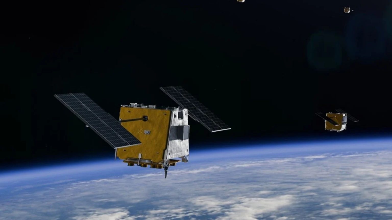
The YAM-9 satellite was developed by Loft Orbital. It serves as the platform for the NAVI-Orbital system, a joint development between NASA’s Jet Propulsion Laboratory and this startup. The test results were published on arXiv but have not yet been peer-reviewed.
Previously, in order to configure the spacecraft for a new type of target, it was necessary to write command sequences, test the software, and upload it to the spacecraft. Now, the procedure has been simplified to editing a text prompt. This shortens the reconfiguration cycle and gives specialists without command sequence programming skills access to the satellite.
What NAVI-Orbital Has Changed
Google DeepMind’s Gemma 3 runs on board the YAM-9. This is a series of lightweight models compact enough to run on a laptop. It belongs to the class of vision-language models, meaning it processes both text and images simultaneously. This is precisely what made it possible to deploy the AI directly on a small satellite, where physical space, power consumption, and computing power are severely limited.
The system is designed as a multi-agent architecture consisting of three modules. The first module coordinates task execution, the detector analyzes and classifies images, and the dialogue agent answers the operator’s questions about the results. Ground-based tests on 7,960 images showed a classification accuracy of 88.2 percent for the categories “residential area,” “beach,” “agricultural land,” and “mountains.” Two imaging sessions have been conducted in orbit so far, with more planned.
Why is this important for the market?
At Loft Orbital, they envision a future with a constellation of about a hundred such satellites. They will be able to provide continuous, real-time global coverage. The company’s head of AI, Paul Lasser, compares this to constant patrols from space.
The satellite evaluates what it sees and communicates only when something matches the search criteria—an oil spill off the coast, new construction along the border, or signs of a flood or wildfire. “This AI truly ‘sees’ what’s in the image and identifies exactly what the analyst is looking for—bridges, highways, specific bodies of water, or signs of natural disasters,” says Sarah Preston, senior marketing manager at Loft Orbital. Looking ahead, Loft Orbital plans to launch a marketplace for AI agents, where various algorithms will compete for the right to process clients’ satellite data.
NAVI-Orbital technology is not limited to low Earth orbit. The article mentions a scenario for future missions to the Moon and Mars, where astronauts in pressurized spacesuits will not be able to type commands on a keyboard. Instead, they will be able to give voice commands to an AI assistant accompanying the mission, according to ScienceAlert.
Researchers have not yet studied the system’s resilience to malicious prompts—that is, attempts to deceive it through specially crafted queries that could cause the AI to misclassify an object or ignore it. They describe the published results as a demonstration of capabilities rather than a definitive assessment of reliability. Nevertheless, the team is confident that such systems will soon become the standard for orbital platforms.