

Seasonal changes on Earth are not only about temperature. At the same time, they represent a massive process involving the movement of billions of tons of matter. Water, ice, and atmospheric air constantly migrate between the hemispheres, causing the planet’s center of mass to shift relative to its geometric center.
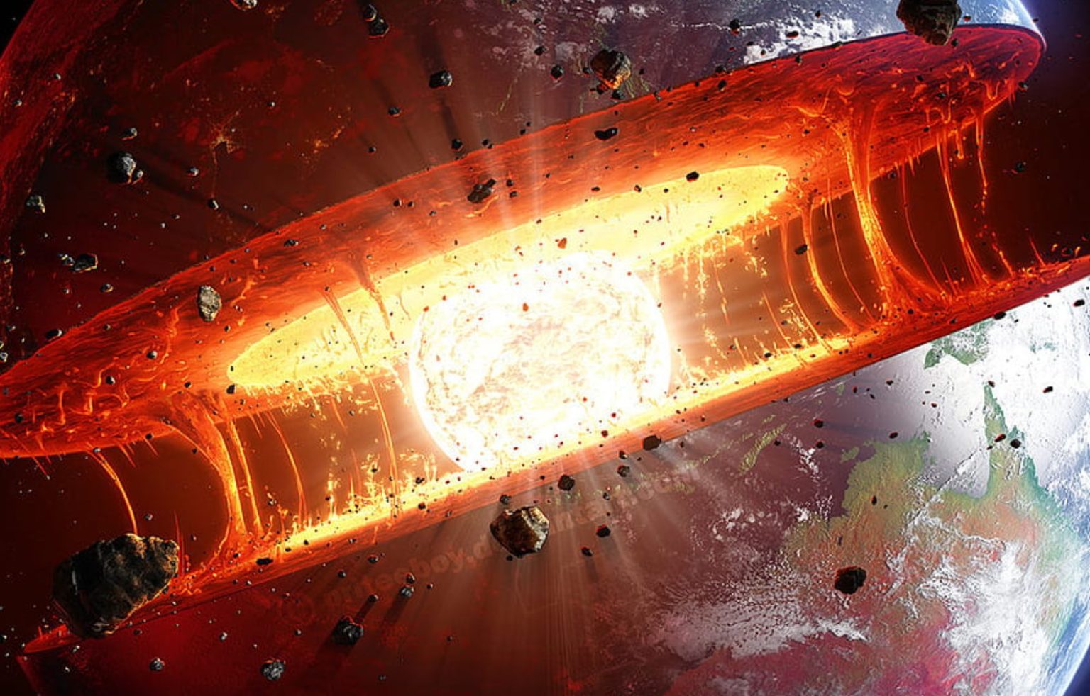
A team of researchers led by NASA’s Jet Propulsion Laboratory (JPL) in Southern California has proposed a new method for calculating these seasonal variations with unprecedented precision. The results, published in Geophysical Journal International, reveal details of how spring snowmelt, ocean currents, and winter atmospheric fronts deform Earth’s crust.
Why Does Earth’s Center of Mass Keep Shifting?
If Earth were a perfectly rigid sphere, its center of mass would coincide with its geometric center. However, our planet is softer and therefore deforms under the weight of surface loads. For decades, scientists have tried to determine the exact location of this moving target because it serves as a fundamental reference point for satellite navigation and sea-level measurements.
Previous international estimates from 2017 and 2023 differed by 7 mm — approximately the height of three 10-hryvnia coins. This uncertainty was nearly as large as the seasonal displacement itself.
To eliminate the uncertainty, JPL geoscientist Donald Argus and his colleagues developed a method based on satellite tracking. Under the influence of gravity, spacecraft orbit the planet’s center of mass, and even the smallest changes in the distances between them and ground stations reveal tiny shifts in its position.
Twin Satellites
The idea of using satellites for geodesy is not new. The dense metallic spacecraft LAGEOS 1 and LAGEOS 2, launched in 1976 and 1992, each have a mass of 408 kg and resemble mirrored disco balls. They are covered with reflective prisms, and their positions are tracked by laser stations in more than 20 countries.
The new method combines GPS tracking with orbital data from several satellites in low Earth orbit and accounts for deformation of Earth’s crust under the weight of water and ice. According to Argus, the amplitude of the annual movement of Earth’s center of mass turned out to be approximately half as large as scientists believed eight years ago. This suggests that less water and atmospheric mass moves between the hemispheres than previous models had predicted.
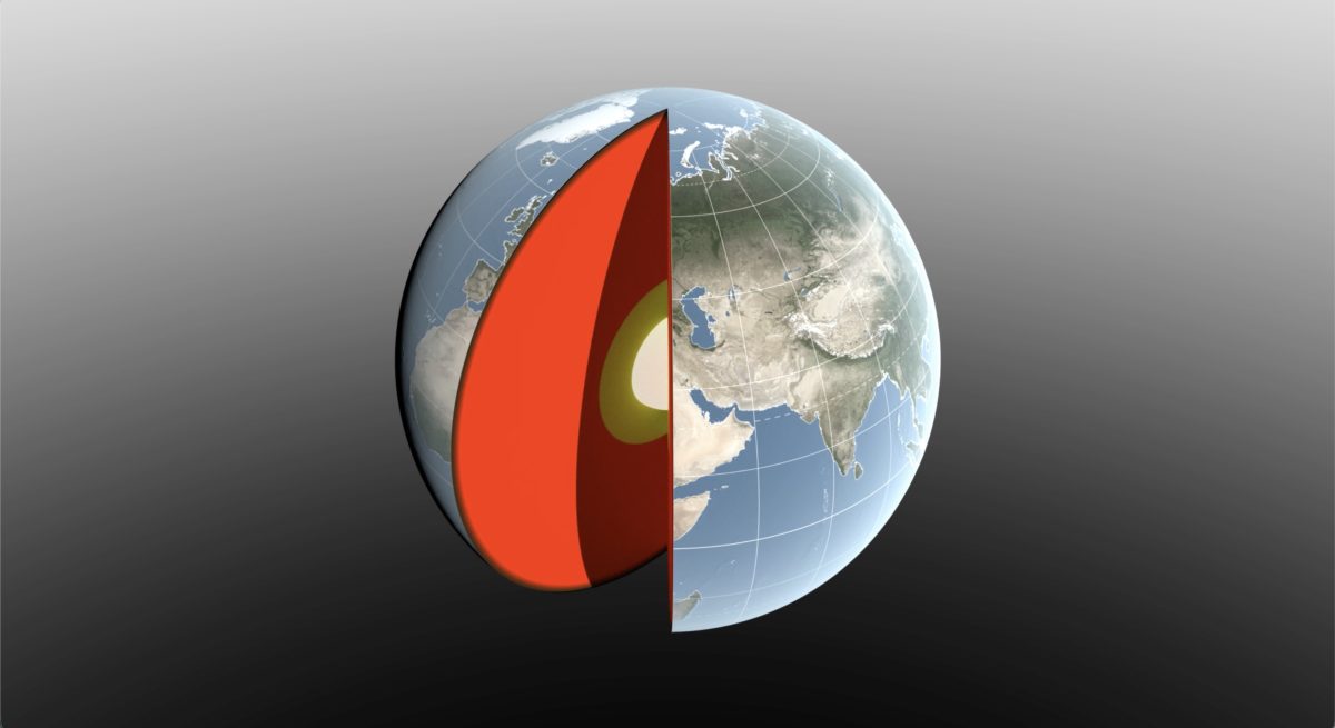
The resulting calculations agree with data from the GRACE-FO mission, launched in 2018 by NASA and the German Research Centre for Geosciences (GFZ). The two twin satellites detect gravitational anomalies: when the leading spacecraft passes over a massive feature, such as a water-filled river basin, the additional gravitational pull changes the distance between the satellites.
The next-generation GRACE-C mission is scheduled for launch at the end of 2028 to continue the 25-year archive of observations.
Main Factors Behind Planetary Shifts
Scientists identified three principal sources of changes in Earth’s center of mass:
- Continental water resources. Snow accumulation in North America and Eurasia reaches its maximum in March, shifting the center of mass by 3 mm toward the North Pole. In April, the Amazon River basin stores as much as 2.4 trillion tons of water, moving the center of mass by 2.2 mm toward South America. In November, monsoon rainfall in Southeast Asia also contributes to the process.
- The global ocean. From August through October, the oceans are replenished with meltwater and rainfall. Because of its enormous surface area, the Pacific Ocean plays a decisive role, shifting the center of mass toward its southern region.
- The atmosphere. Cold, dense winter air creates excess pressure over Asia, Arabia, and North Africa around December 21, and over South America and southern Africa around June 21.
As the authors of the study note, although these shifts are measured in millimeters, accounting for them accurately is critically important. Creating more precise coordinate reference systems directly affects the quality of mapping, satellite logistics for maritime transportation, and precision agriculture.
According to NASA