The US Army has expanded its contract with Maxar Technologies, a company engaged in satellite imagery and geospatial information acquisition. It is planned that it will create for the military a three-dimensional model of the world for training.
US Military and Maxar Technologies
The US military announced on February 27 that they were expanding the contract with Maxar Technologies, a company known for its satellite images of the Earth’s surface, and the events of the Ukrainian-Russian war in particular.
Back in 2019, the US army launched the One World Terrain (OWT) project, which aimed to create digital environments with an immersive effect based on satellite information. Then their partner was the company Vricon, engaged in the extraction of satellite images of geospatial data.
In 2020, Maxar Technologies bought Vricon, and since then the contract with the US military has passed to them. The total cost of One World Terrain is 94.7 million dollars. This time Maxar Technologies implements its Phase 3b.
Digital model of the Earth
Geospatial information, in fact, is a “decoding” of satellite images, a set of data on the coordinates of objects on the Earth’s surface, indicating their characteristics and features. Also, the relative location and connections between objects play an important role in it. Interactive surface maps can be created based on the data.
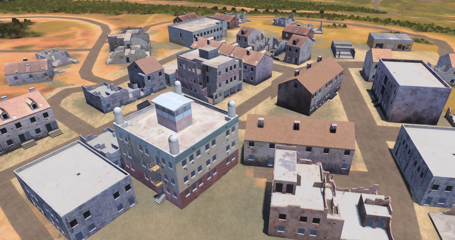
The One World Terrain project aims to implement the next stage — Maxar Technologies will create a detailed three-dimensional model of the Earth based on geospatial data, a virtual world into which the military will be able to dive to assess the situation “with their own eyes”.
The previous Phase 3a of One World Terrain was aimed at improving the accuracy of three-dimensional terrain data and improving the automation of image processing received from satellites. It lasted a year.
In Phase 3b, which is expected to last as long as the previous one, the main task will be to obtain data from open sources, as well as information received from small unmanned aerial spacecraft.
The new system, at least partially, will be open not only to military users, but also to commercial ones. Last week, Maxar Technologies announced the launch of SYNTH3D, a three–dimensional model of the real world designed to be the basis for computer game developers.
According to spacenews.com
Follow us on Twitter to get the most interesting space news in time
https://twitter.com/ust_magazine
