Lockheed Martin and Maxar Technologies have signed contracts with NOAA to create a concept for a new generation of weather tracking satellites. They will be geostationary and “hang” over the territory of the United States.
New weather tracking satellites
On July 26, the US National Oceanic and Atmospheric Administration (NOAA) announced that NASA had signed contracts with Lockheed Martin and Maxar Technologies on its behalf. The price of each of them is 5 million dollars. For this money, firms should develop concepts of satellites for tracking the weather of a new generation.
We are talking about satellites for extended geostationary observations GeoXO, which in the future should replace the current devices of the GOES-R series. One such device will hang over the Western and Eastern coasts of the United States. And in the future, another satellite should observe their central part.
According to the contracts, each company will spend 10 months developing the GeoXO satellite concept. They should decide what technologies are needed for the construction of the devices, what are their characteristics, risks, losses and production schedule. And based on the results of these works, NASA and NOAA will conclude contracts with specific technical tasks in 2024.
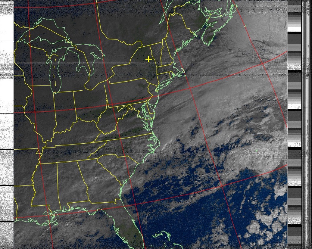
What tasks will the new satellites perform
The common task of the new GeoXO satellites will be constant monitoring of the climate and ocean conditions and accurate weather prediction. Lockheed Martin plans to create devices that will use two devices already operating on the GOES-R series satellites: a geostationary lightning cartographer and a solar ultraviolet camera.
Maxar also has experience designing satellites for NOAA. At one time, it was they who built 8 satellites for tracking the weather of the GOES series of the first and second generations. But that was back in the twentieth century. But they have a huge experience of using their satellites to explore the Earth.
Among the tasks that GeoXO satellites will perform, experts especially highlight lightning mapping. Over the USA, these natural phenomena can reach tens of kilometers in length, but it is very difficult to track them in time. They will also constantly monitor the color of the ocean. Its change signals the processes of erosion of riverbeds and the vital activity of oceanic plankton.
According to spacenews.com
Follow us on Twitter to get the most interesting space news in time
https://twitter.com/ust_magazine
