Relying entirely on satellite imagery from commercial vendors is too expensive for NATO. The organization does not have its own satellites. And the participating countries, for a number of reasons, are in no hurry to share what their spacecraft see.
Commercial images are too expensive for NATO
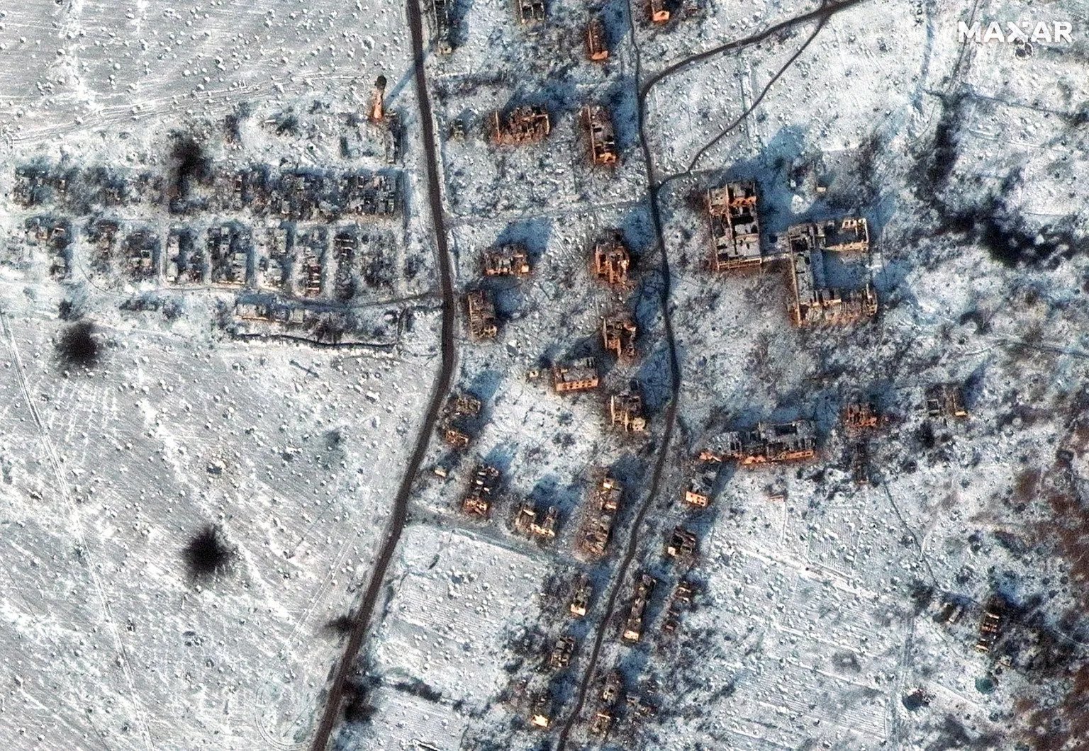
Ukrainians often ask why the images obtained with the help of satellites are not published, the right to use them for military purposes has been granted to our state. Meanwhile, representatives of the North Atlantic Treaty Organization (NATO) complain that they cannot freely use satellite images for their internal needs.
At least, this was stated at the GEOINT Symposium by Paul Bowman, who heads the intelligence, surveillance and reconnaissance group at NATO. In particular, he said that the decision to rely entirely on images provided by commercial companies turned out to be too expensive for the alliance.
Not only the pictures turned out to be expensive, but also the methods of their decoding. NATO specialists conducted several experiments with the best samples of artificial intelligence and it showed its high efficiency. However, its operation turned out to be too expensive.
Therefore, Bowman expressed hope that the number of both private providers of images and those who process them would increase. And this will reduce the cost of such operations. And before that, NATO will try to solve the problem with the help of satellites that belong to the participating countries.
Problems with joining forces
Now NATO plans to develop the Aquila virtual satellite constellation. Its task is to create a network that will allow to quickly collect satellite images from the member countries of the alliance, process and distribute them to those structural units that need them.
But there are many obstacles here too. The main one is that those countries that have their own observation satellites are not in a hurry to share the results of their work. And not always it is due to their own greed.
The fact is that a significant part of the national satellite groupings are built by commercial companies commissioned by the governments of these countries. This means that the so-called end-user certificate applies to the images obtained with their help. That is, the military from these countries can use them, but not transfer them.
In 2020, during the general training of the Alliance, instead of one server for satellite data, it was necessary to install four separate servers for different data providers and provide images from them to different countries. In addition, there is a purely technical problem with various standards and protocols. NATO is going to overcome all these difficulties in the near future.
According to spacenews.com
Follow us on Twitter to get the most interesting space news in time
https://twitter.com/ust_magazine
