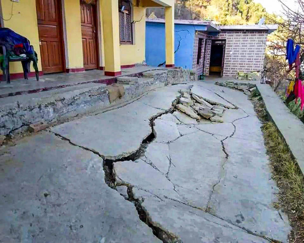
Scientists used publicly available satellite images to assess how much the earth is sinking under American cities on the east coast of the country. They show that the overuse of groundwater increases destructive processes and makes territories vulnerable to rising water levels.

Soil subsidence on satellite images
A team of scientists from the University of Arizona used publicly available satellite images to determine how the level of the earth’s surface changes on the east coast of the country. Behind them, 15 scientists manually measured millions of cases of surface subsidence and mapped them.
These changes have very small values, but in fact they indicate truly global processes. For example, according to satellite data, the cities of New York and Charleston in South Carolina drop by 2 mm annually.
In general, the researchers concluded that the soil is slowly but rapidly sinking in the 50 largest cities and airports of the east coast of the United States. They made a very accurate map of these processes and were able to forecast the development of events for the next 100 years.
Why is the soil sinking?
Naturally, the soil is sinking not only in the USA, but also in many other cities. There can be many natural reasons for this: tectonics, glacial isostatic correction, precipitation load and soil compaction. But it can also be the result of human activity, for example, the extraction of groundwater, gas and oil.
Scientists pay attention to big cities and airports for a reason. Buildings and asphalt exert considerable pressure on the ground, so the formation of any cavities under them certainly leads to an acceleration of subsidence.
Finally, the main danger is not that cities will really fall into the ground, but that they will become more vulnerable to floods and rising sea levels. The water will be able to erode those areas that it has not been able to reach until now.
In this regard, scientists pay special attention to the subsidence of wetlands. They not only play an important role in the functioning of the carbon burial cycle, but also serve as a buffer against floods. As soon as the water washes them completely, the areas where the cities are now standing will begin to sink.
According to phys.org.
Follow us on Twitter to get the most interesting space news in time
https://twitter.com/ust_magazine

