Scientists have learned to identify “dead zones” off the coast from satellite images. In these zones, almost all living things die due to lack of oxygen. This disrupts global food chains and threatens the world’s fisheries.
“Dead zones” in the ocean
Scientists from Michigan State University have published a study on how satellite images can be used to identify so-called “dead zones” in the ocean that occur near the coasts of densely populated countries.
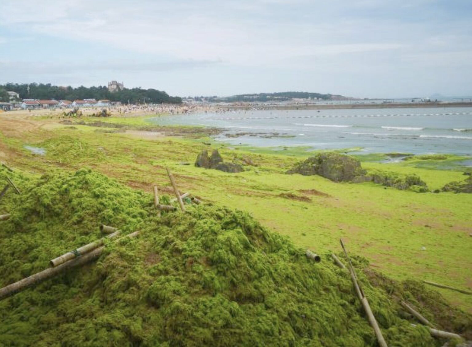
These zones are also called hypoxic, because there is a critical lack of oxygen. The root cause of their formation is river runoff, which carries not only solid soil particles, but also fertilizers from the fields. The latter cause a strong growth of algae in the coastal zone, which they often cover with a continuous blanket.
However, this holiday of vegetation is illusory. As the nutrients in the water run out, the algae begin to die massively and sink to the bottom. Their decomposition releases a large amount of substances that react chemically with oxygen dissolved in ocean water.
Oxygen is becoming less and less, and it is harder for fish and invertebrates living in these places to breathe. Soon a “dead zone” will be formed, which cannot produce anything either for the global biosphere or for human economic activity.
How to see hypoxic zones?
The problem with hypoxic zones is that, despite their extreme prevalence, it is impossible to see them even from an airplane, let alone a satellite. After all, they are almost no different from places where water just “blooms”.
The scale of the crash is visible only when you take water samples. Scientists studying the “dead zones” since 1995 have found more than 500 cases of their occurrence, and the total area of the disaster, covering the coastal zones of the World Ocean, is comparable to the territory of Great Britain.
And all the research that scientists conducted during these years turned out to be in vain. Thanks to them, the dependence of changes in oxygen dissolved in water on the process of algae dying on the surface was established.
And then the geospatial information received from satellites helped. This technology consists in analyzing “raw” satellite data in relation to location and time changes and searching for certain patterns.
Scientists study how the color of the ocean changes in time and space, and are able to find those areas where the green color of algae is replaced by a dirtier one. This is where the formation of “dead zones” takes place. Further research will help to understand whether their volume grows over time and what factors influence the formation of this “underwater desert”.
According to Рhys.org
Follow us on Twitter to get the most interesting space news in time
https://twitter.com/ust_magazine
