Due to the danger of a new wave of Russian aggression, the United States will provide the Ministry of Defense of Ukraine with continuous access to images obtained by commercial satellites. Images from operators are delivered directly to Ukrainian military analysts.
Satellite images for Ukraine
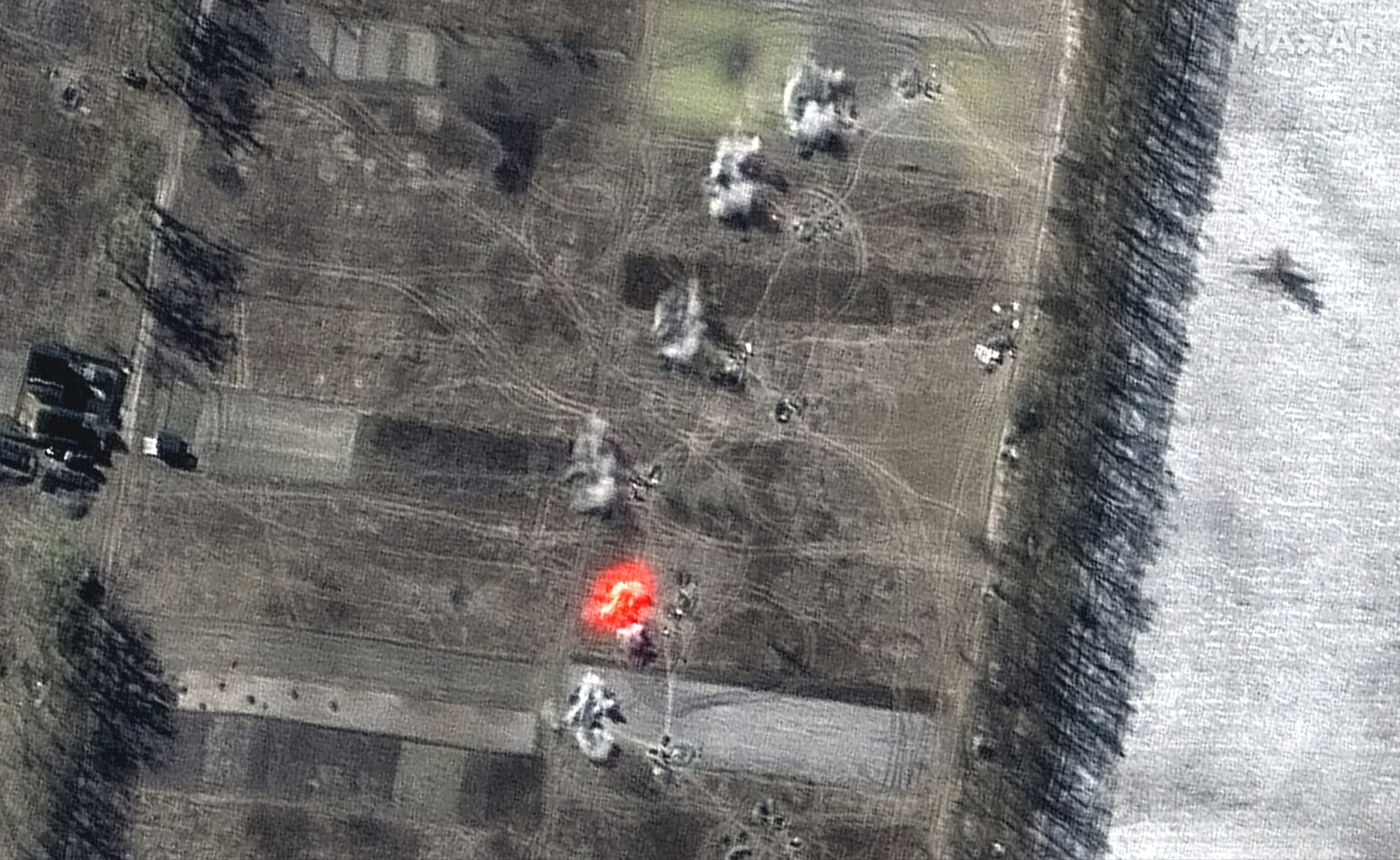
United States intelligence has been providing Ukraine with unprecedented intelligence assistance since the beginning of Russia’s invasion. In particular, channels for transmitting images from commercial satellites have been created, which the US military began using only recently.
In an official message dated April 6, representatives of American intelligence stated that they have contacts with almost a hundred commercial companies that provide them with images from more than 200 satellites. In addition, at least 20 analytical centers participate in the system of their processing.
It is also noted that this system was not created suddenly. Scouts and representatives of commercial operators worked a lot on it. Already on the eve of the attack on Ukraine, the volume of images of its territory has almost doubled.
At the same time, images from Maxar, BlackSky or Planet are transmitted not only to NATO headquarters or to the Command of American troops in Europe. Their flow also goes to Ukraine, where local analysts work with them. That is, the command of the Armed Forces of Ukraine has the ability to constantly monitor changes in the situation on the fronts.
What types of data are supplied to Ukraine
Mass acquisition of images in the optical range from commercial operators has been practiced for a long time. However, the war in Ukraine posed a new problem for the scouts. The sky over the theater of military operations is often covered with clouds, and the military need to get photos daily.
A similar system of direct data delivery from radar satellites has just been developed. And the beginning of hostilities forced the scouts to launch it a few months earlier than planned. Clouds do not interfere with radar satellites, and their data is also supplied to Ukrainian analysts continuously.
Separately, companies such as HawkEye 360 were involved. Their satellites track radio frequency signals on the Earth’s surface. It was with their help that the places where Russians are trying to jam the Internet were tracked. In addition, based on the experience of six weeks of the Russian-Ukrainian war, it became clear what other services from commercial satellite operators will be required in the near future.
According to Spacenews.com
Follow us on Twitter to get the most interesting space news in time
https://twitter.com/ust_magazine
