

The U.S. military will purchase satellite autonomy modules from California startup EraDrive. Each device is designed to determine a spacecraft’s position using images from its own camera, without GPS or constant commands from Earth. This is important in environments where navigation signals are jammed or unavailable. The technology has already been tested in orbit during an experimental NASA mission.
Direct Procurement
The company received a $13 million contract through the Accelerate the Procurement and Fielding of Innovative Technologies (APFIT) program, according to Payload. Unlike research grants, this funding pays for finished equipment. The number of modules the U.S. Space Force will receive and their delivery schedule have not been disclosed.
Lawrence Robertson, head of space experiments at the U.S. Air Force, explained that it usually takes years for a small company’s technology to secure a government contract. EraDrive was selected and awarded its contract within a single fiscal year.
Navigation Without GPS
A satellite typically determines its position using GPS signals and performs complex maneuvers by following a sequence of commands uploaded from Earth during a communications session. Both channels are vulnerable. Navigation signals can be jammed, and receiving them above the orbits of the GPS satellites themselves is considerably more difficult. Communications sessions are also brief, limiting the amount of data that can be transmitted.
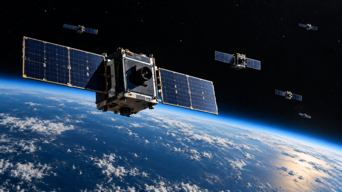
According to EraDrive, the Era-Node module combines a high-dynamic-range camera, a computing unit, and a communications link to other satellites. Its onboard software processes images and makes some decisions without input from Earth.
The camera photographs nearby objects, and the software calculates their directions based on their positions in the images. A series of these measurements yields both the satellite’s own orbit and the orbits of the objects captured in the frame.
Testing in Orbit
Over two years, the company’s Era-Core software underwent at least seven experiments aboard the four miniature satellites of the Starling mission, launched by NASA in July 2023. Each CubeSat is approximately the size of a shoebox. The software identified and tracked moving objects and independently instructed other satellites to turn to keep a target in view. The fully assembled Era-Node module, however, has not yet flown in space, although almost all its components have flight heritage.
The StarFOX navigation experiment aboard these CubeSats was developed by Stanford’s Space Rendezvous Laboratory, from which EraDrive later emerged. The satellites used their standard star trackers—cameras that determine spacecraft orientation using stars—to photograph neighboring spacecraft, so no additional equipment was needed. According to a NASA report, the satellites’ relative positions were determined, in the best case, to within 0.2% of the distance between them. That is approximately two meters per kilometer.
Boundaries Instead of Commands
EraDrive CEO Sumant Sharma sees the company’s approach to control as its distinction from competitors. Instead of providing a list of commands, an operator sets boundaries for permitted actions, and the onboard software operates independently within them.
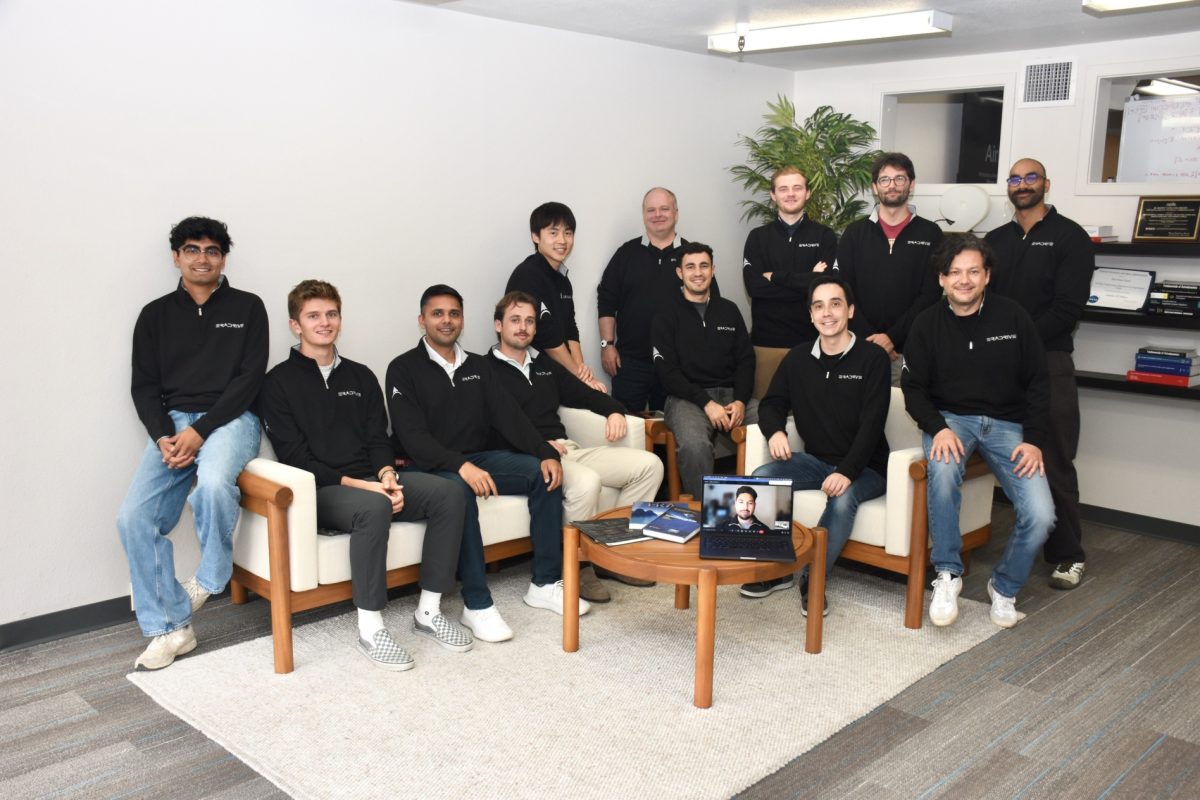
The company was founded in 2025 by Sumant Sharma, Justin Kruger, and Stanford University professor Simone D’Amico. The CEO previously worked at Wisk, a Boeing subsidiary, where he developed collision detection and avoidance systems for uncrewed aircraft.
In the future, EraDrive wants to connect its modules in orbit into a sensor network. Data from this network would help operators avoid collisions even if their satellites do not carry the company’s equipment.
