Satellite images in Google Earth helped identify three camps of ancient Roman legionnaires in Jordan. Archaeologists believe that these are traces of a previously unknown military campaign that took place in the II century AD.
Ancient Roman camps on satellite images
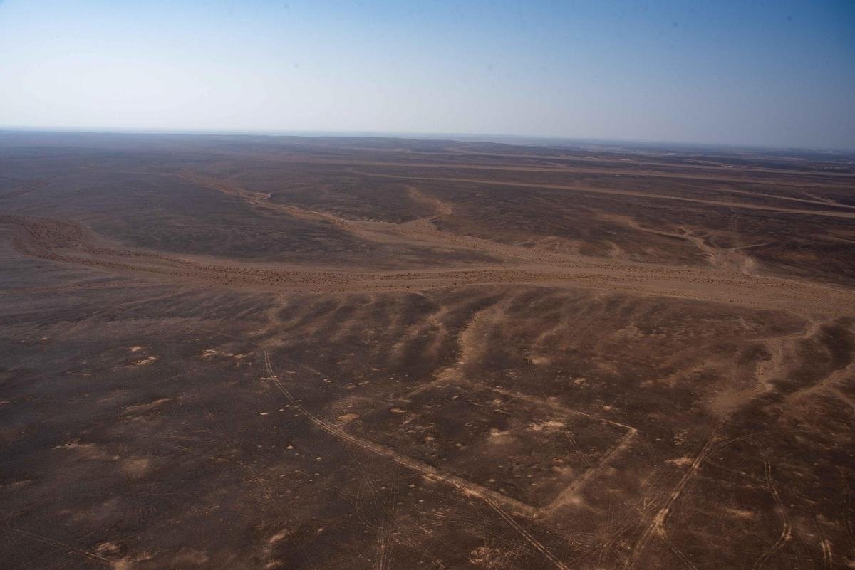
British scientists from the Oxford University School of Archaeology have discovered the remains of three previously unknown camps of Roman legionaries in a desert area in Jordan. The discovery was made thanks to satellite images from the Google Earth service.
There is no doubt that these are ancient Roman camps. They have a rectangular shape, very similar to playing cards, are surrounded on four sides by fences and have one exit in each of them. There is no doubt about dating either. Scientists were sure that they were created at the beginning of the second century AD.
Archaeologists are amazed at how well preserved these structures are; despite the fact that the legionnaires used them for several days or weeks. For this, it is worth thanking the practical Roman army, which always responsibly dug in where it stayed at least for one night.
Traces of an unknown military campaign
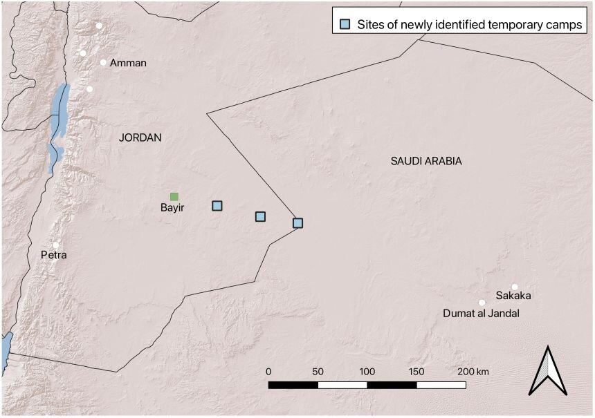
All three camps are almost on the same line, which is clearly visible in the pictures. Scientists have suggested that they may be part of a previously unknown campaign of the Roman army. However, due to the fact that the distances between the fortifications are 37 and 44 km, scientists believe that there were not Roman infantry, but cavalry, perhaps camel riders.
Considering how the camps are located on the map, the researchers assumed that there were two more stops to be made: at the place where the Umayyad fortress later appeared, and at the well station at Bayir. In general, this path leads to Dûmat al-Jandal, a settlement in Saudi Arabia, and once it was part of the Nabataean kingdom, which had the rocky city of Petra as its capital.
In 106, the last king Rabbel II Soter died there. According to Roman sources, after his death, power over these lands peacefully passed to the Romans. However, the military camps found with the help of satellite images show that in fact it was necessary to carry out military intervention for this.
The next stage of the study will be excavations at the site, which should confirm the dating. But archaeologists already have an interesting question. The westernmost of the camps is larger than the other two. Probably, there were more troops in the beginning. But where did they go? Maybe it’s worth searching Google Earth for camps of detachments that went the other way?
According to phys.org.
Follow us on Twitter to get the most interesting space news in time
https://twitter.com/ust_magazine
