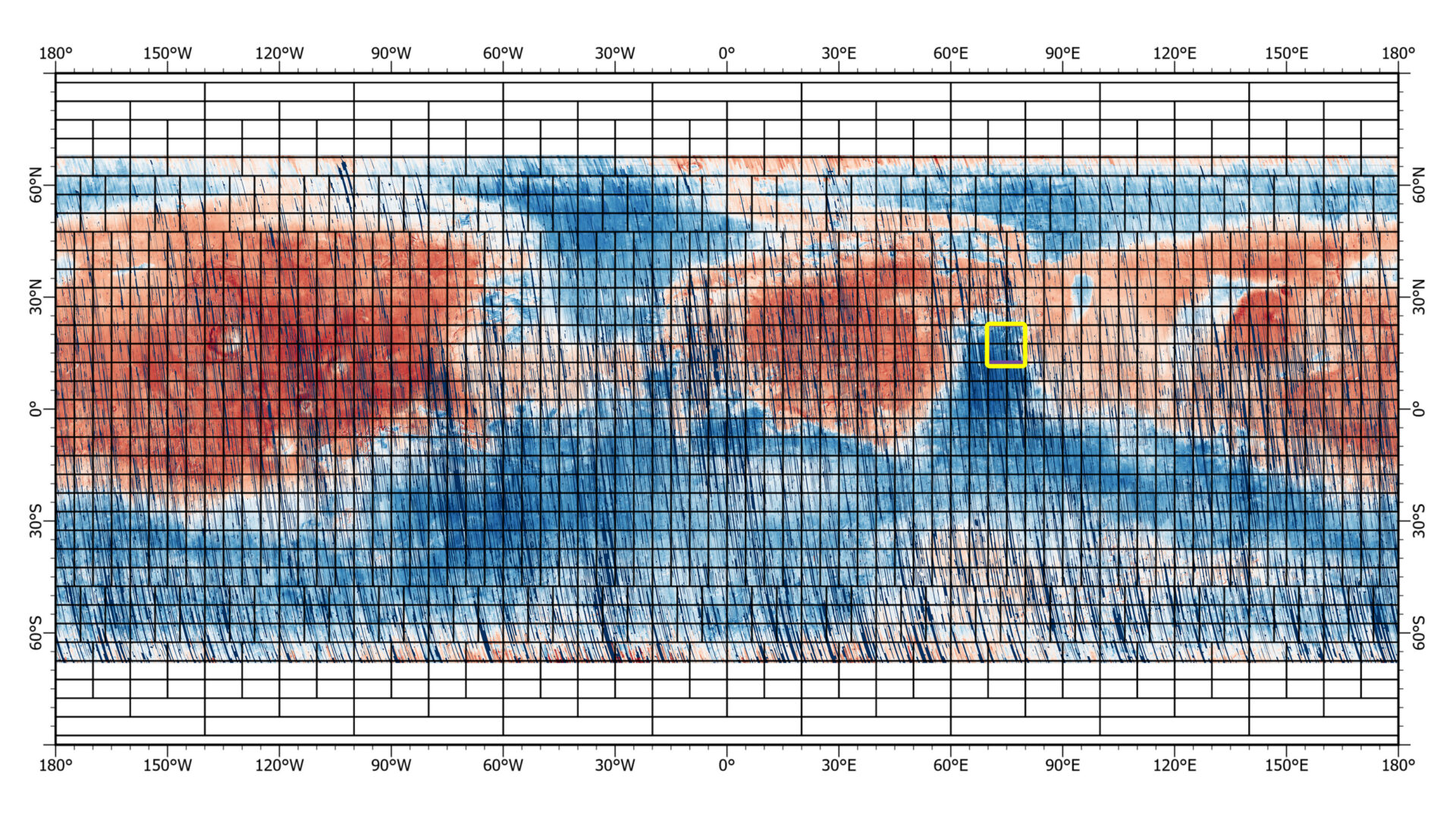
Scientists have taken a new look at Mars thanks to a multi-color map with a resolution of 5.6 gigapixels. The map, covering 86% of the surface of Mars, shows the distribution of dozens of key minerals on its surface. By looking at the distribution of minerals, researchers can better understand the past of the Red Planet and identify regions that need more in-depth study.

The first part of this new map, published by the NASA planetary data system, contains 51 thousand images, each of which represents a strip with a length of 540 kilometers and a width of 10 kilometers. Within a year, a complete map will be published, which will cover visible wavelengths and will have twice the spatial resolution. The full publication will complete one of the most comprehensive studies ever conducted on the surface of Mars.
Achievements of MRO and the CRISM device
The Mars Reconnaissance Orbiter (MRO) has been mapping minerals on the Red Planet for 16 years using the Compact Reconnaissance Spectrometer for Mars (CRISM).

CRISM detectors see wavelengths in the visible and infrared ranges. Thanks to this, the MRO team created high-resolution mineral maps containing data on the formation of the Martian crust, as well as where and how it was altered by water. These maps are crucial for scientists to understand how lakes, streams, and groundwater shaped the planet billions of years ago.
NASA also used CRISM maps to select landing sites for spacecraft. For example, the device helped to choose the Jezero crater as the place where the NASA Perseverance rover got to study the ancient river in this area.
Recall that earlier MRO saw an amazing phenomenon on Mars.
According to JHUAPL
Follow us on Twitter to get the most interesting space news in time
https://twitter.com/ust_magazine

