Iceye and Satlantis have announced plans to introduce combined radar and optical observation of the Earth’s surface. It will be carried out by two pairs of satellites working together in low Earth orbit.
Iceye and Satlantis will work together
The Finnish company Iceye, known for the fact that Serhiy Pritula’s Charitable Foundation bought a satellite for the Armed Forces of Ukraine, joins forces with the Spanish company Satlantis. This became known from a statement released on September 14.
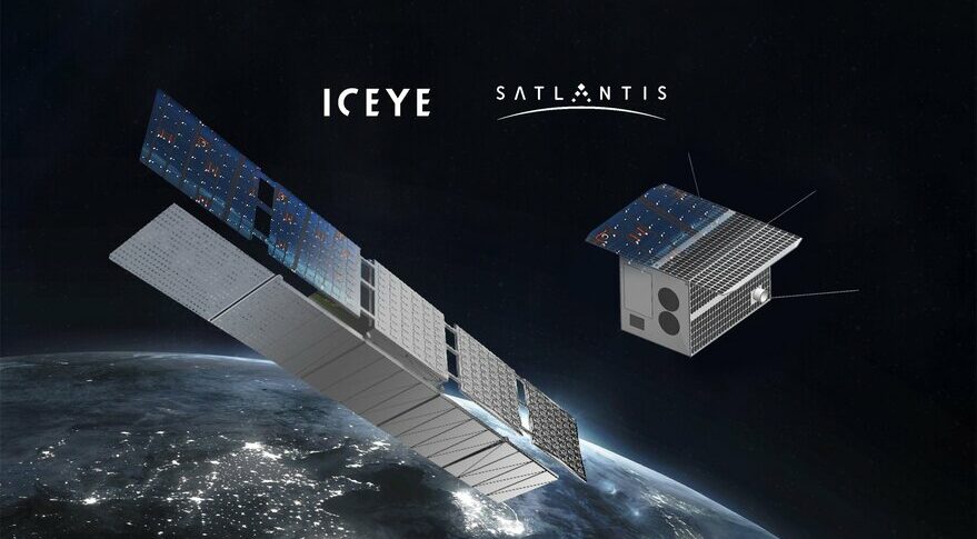
The project involves complex observation of the Earth’s surface using synthetic aperture satellites (SAR) with optical observations. Iceye specializes in the first, and Satlantis specializes in the second.
The Tandem4EO program provides for the placement of two pairs of satellites in a so-called bistatic configuration in a low sun-synchronous near-Earth orbit. The first pair will be Iceye SAR satellites. In the same orbit as them, but with a slight delay, a pair of optical observation devices with a resolution of one meter will move.
What will the new system be used for?
Both optical range observations and synthetic aperture radars have their disadvantages and advantages. The first ones can see the surface of the Earth only during the day and in clear weather, but their images are easier to process and they give more information. SAR satellites “see” through the night and clouds. The images they receive are exactly the “echo” reflected from objects, and it is not so easy to recognize them.
The joint work of Iceye and Satlantis satellites allows combining the advantages of the two methods and compensate for the disadvantages. It’s not just about being able to compare images in two different ranges, taken with a difference of a few minutes.
Two pairs of satellites working together make it possible to obtain satellite interferometry. This method is based on the fact that the signal from the object arrives at two observation points with different delays and at different angles. This allows measuring the distance to it with an accuracy of millimeters and thus create a three-dimensional picture of what is happening on the surface.
The application in the new system can be very wide. Iceye and Satlantis talk about tracking natural disasters, security, environmental changes and monitoring the state of infrastructure.
According to Spacenews.com
Follow us on Twitter to get the most interesting space news in time
https://twitter.com/ust_magazine
