The Korean Aerospace Research Institute (KARI) has published a series of photographs taken by the Danuri probe. They demonstrate different areas of the lunar surface, as well as the change of phases of the Earth.
Danuri is the first South Korean spacecraft to enter interplanetary space. It is designed to study the Moon. Danuri will be engaged in photographing possible landing sites of the next South Korean missions and mineral exploration. Another purpose of the device is to photograph eternally shadowed lunar craters, at the bottom of which, it is believed, there are ice deposits.
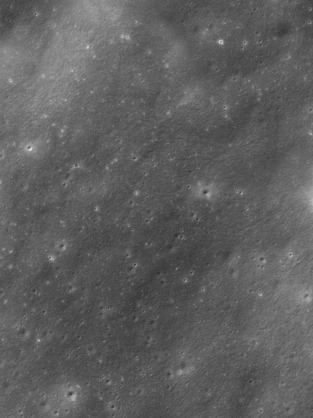
The newly published images show several sections of the lunar surface. One of them depicts a part of the Vallis Rheita. This is the second largest such formation on the visible side of the Moon. Its length is 445 km, and its maximum width is 30 km.

In another photo of Danuri, you can see the Mare Imbrium — the lunar sea, located in the northwestern part of the visible hemisphere of the moon. It is the landing site of several self-propelled spacecraft (the Soviet “Lunokhod-1” and the Chinese “Yutu”), also in 1971, the Apollo 15 expedition took place on its outskirts.

In addition, KARI published a panoramic image of the area in the Oceanus Procellarum and a collage showing the change of phases of the Earth visible from the Moon. It is made up of images taken between January 11 and February 1, 2023.
Earlier we talked about how Danuri managed to photograph a section of the lunar surface located in the eternal shadow.
Follow us on Twitter to get the most interesting space news in time
https://twitter.com/ust_magazine
