The Mars Express mission team has released a series of images of the Holden Plain. According to planetary scientists, in the distant past this region played a key role in the functioning of the Red Planet’s hydrosphere.
Ancient drainage system
Holden Plain is an ancient impact crater. It is part of the Uzboi-Ladon-Morava canal system. Billions of years ago, it held up to 9% of the water that flowed on the Martian surface.
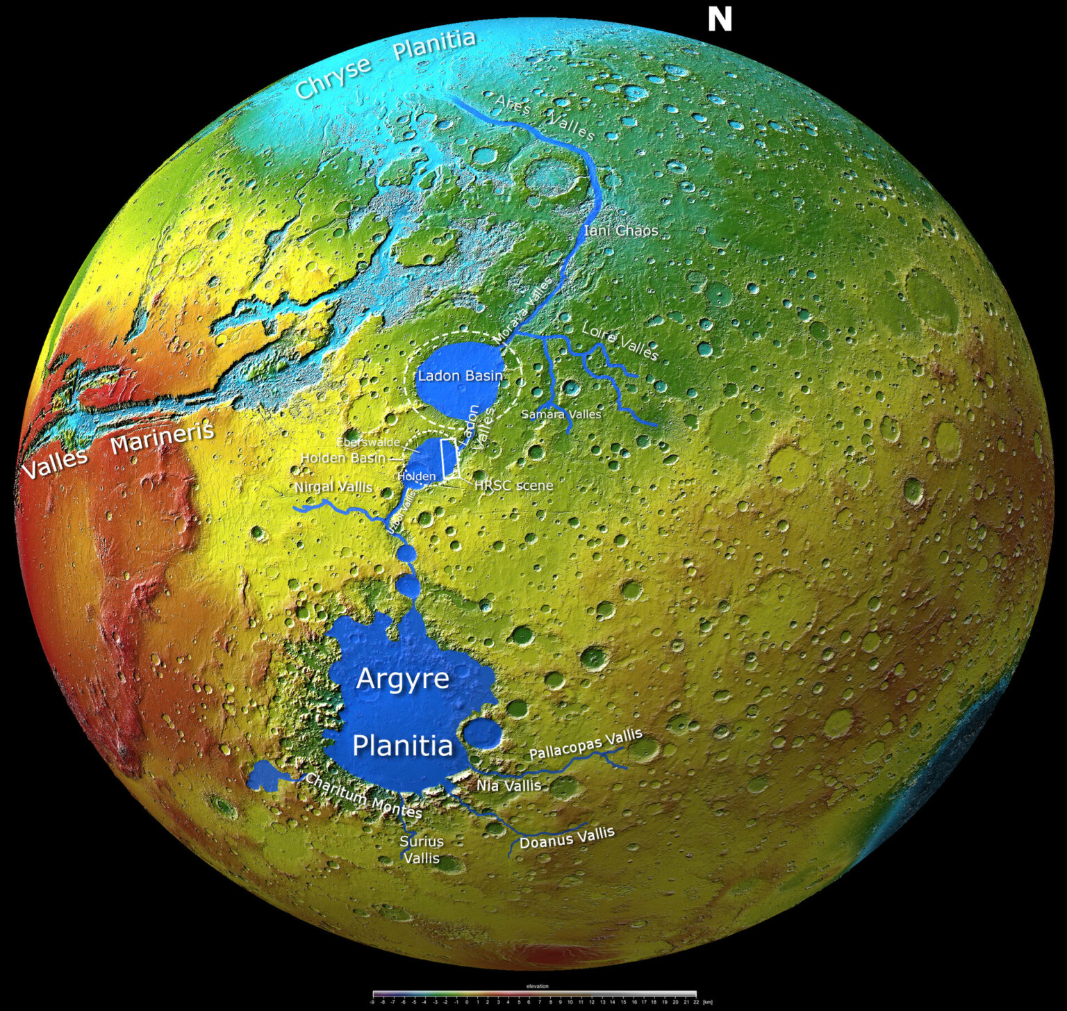
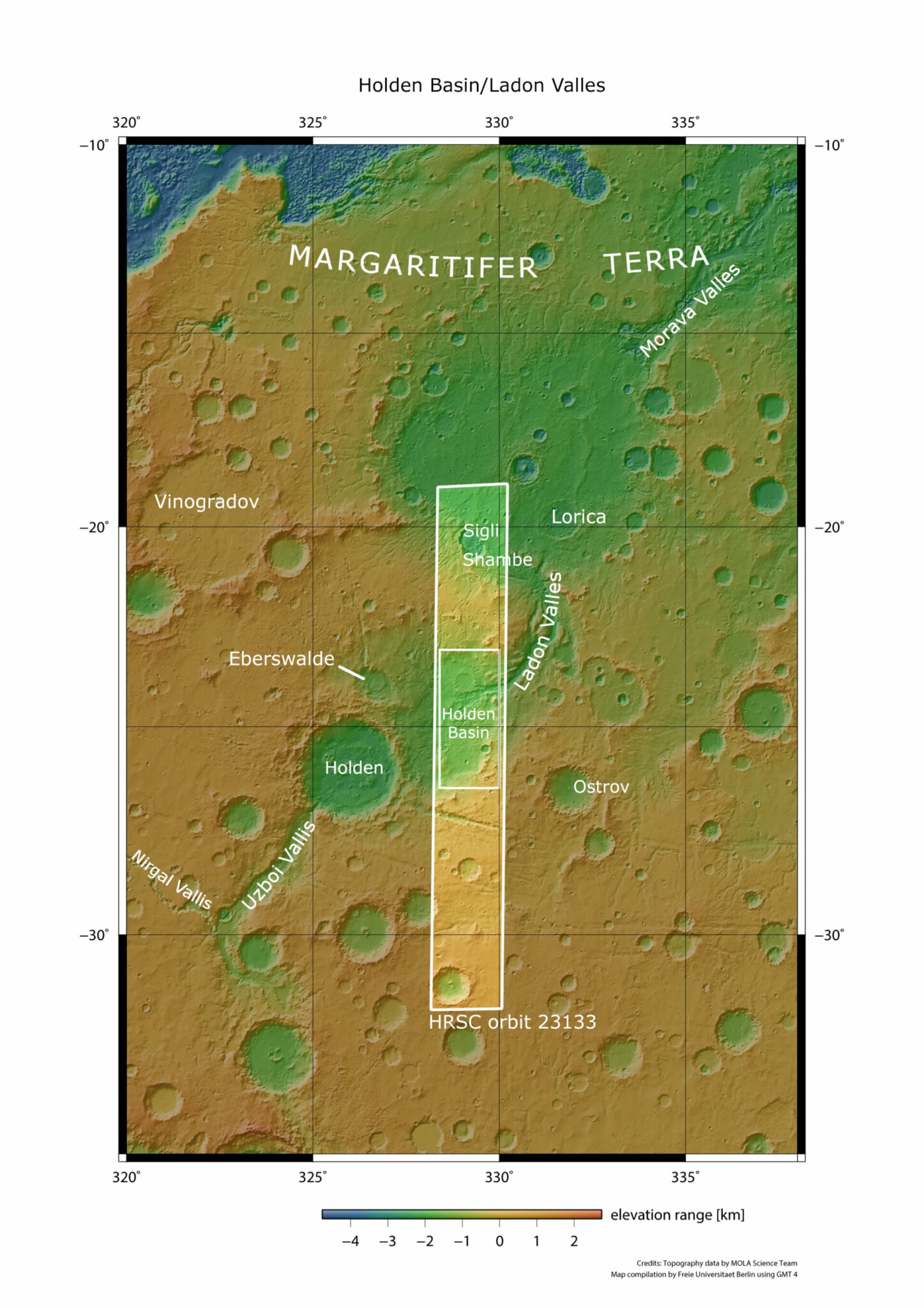
A map created by ESA specialists shows how this system looked in the past. The water that flowed into the Argyre Plain entered the Uzboi Valley, where it entered the Holden Plain. Then it headed through the valleys to the Ledon plain and further to the north of the planet.
The map also shows the Mariner Valleys, a giant system of fractures whose combined length is about a quarter of the circumference of Mars.
A close-up view of the Holden Plain
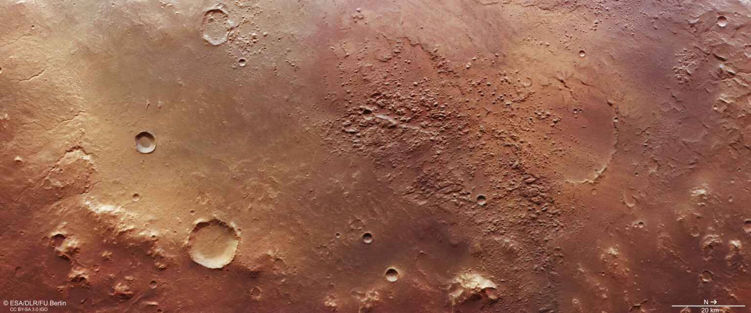
Mars Express images show what Holden Plain looks like now. One of the images captures its southern part. We can see the walls of the basin, which descend about 1,500 meters below the level of the surrounding surface, and the crater that is at its bottom.
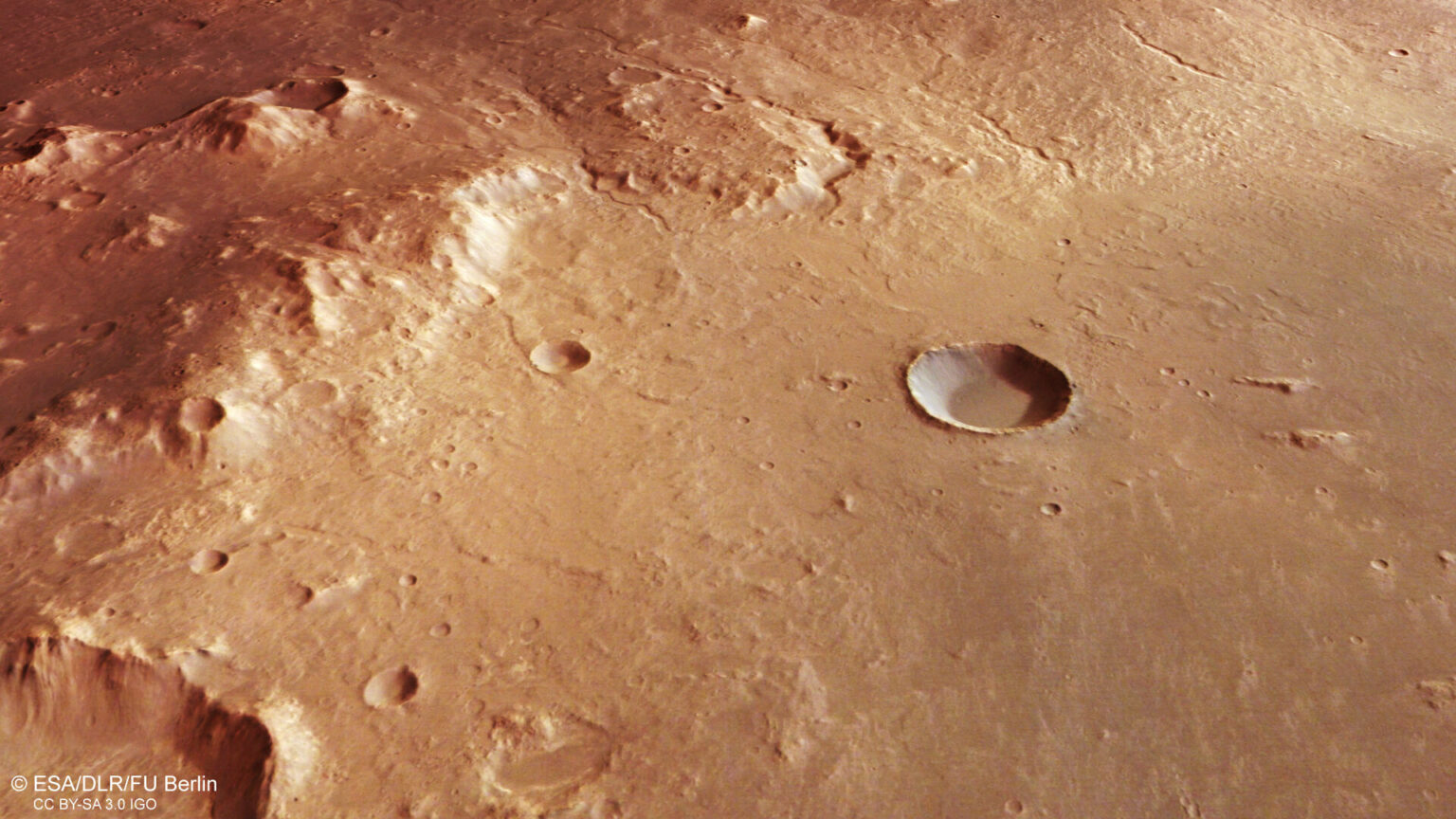
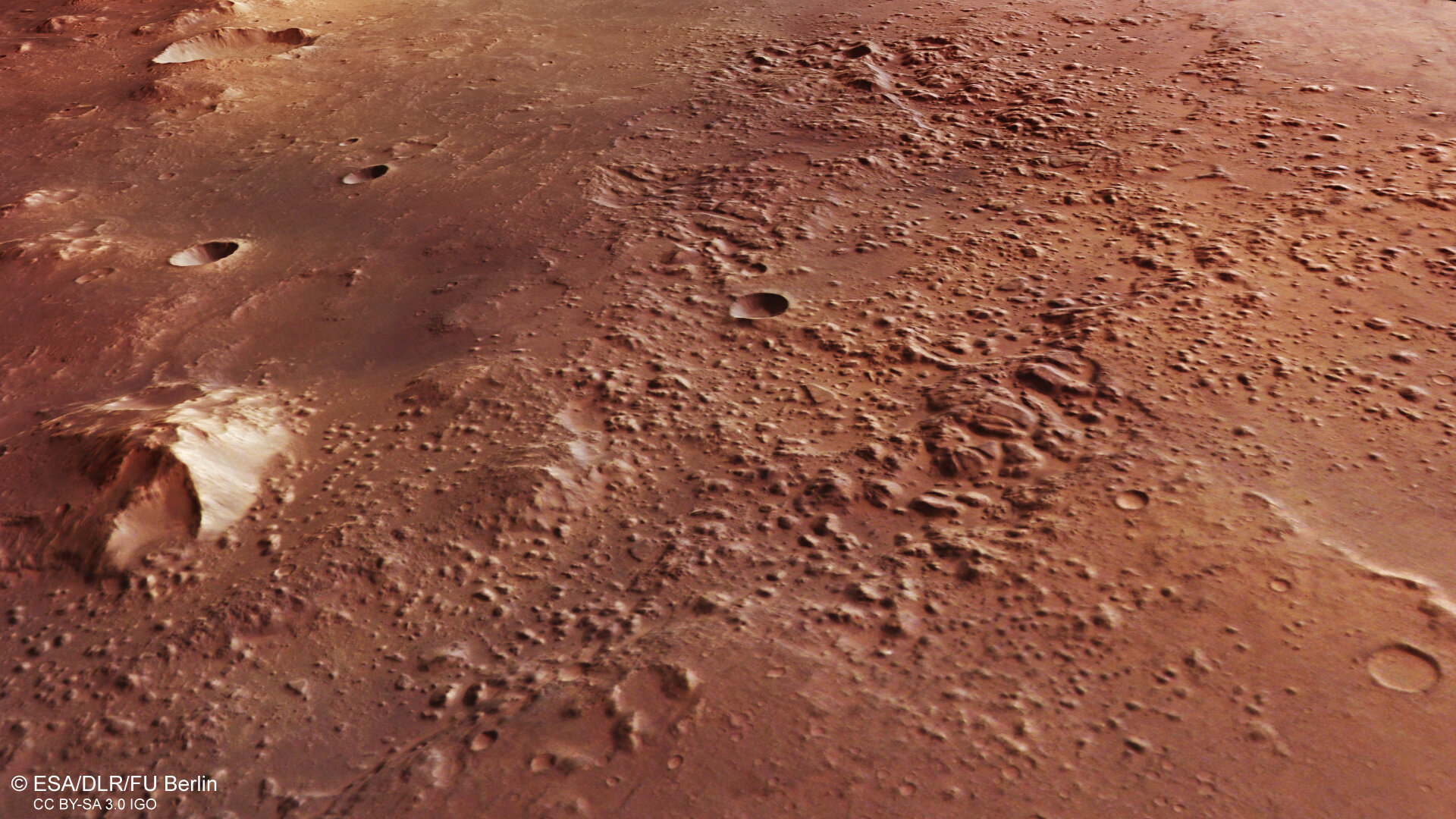
The second image shows where the water from the Holden Plain flowed into the Ledon Valley. The characteristic bumps were formed by the melting of water ice under the surface of Mars.
There is a 140-kilometer crater of the same name on the Holden Plain. The material thrown out during its formation filled part of the region. According to scientists, this impact formation was formed after Mars turned into the desert world we are used to. This is indicated by the absence of any traces left by water flowing over the bottom.
But, despite this circumstance, the Holden plain is still of considerable scientific interest. Its study allows us to look into the past of the planet and better understand what it was like billions of years ago. And if life once existed on Mars, traces of it may still be present in the region’s ancient sedimentary deposits.
Based on materials from https://www.esa.int

