
In the past two decades, archeologists have uncovered more unknown sites than in twenty years prior. This development is partially due to the data they get from satellites to aid their search.
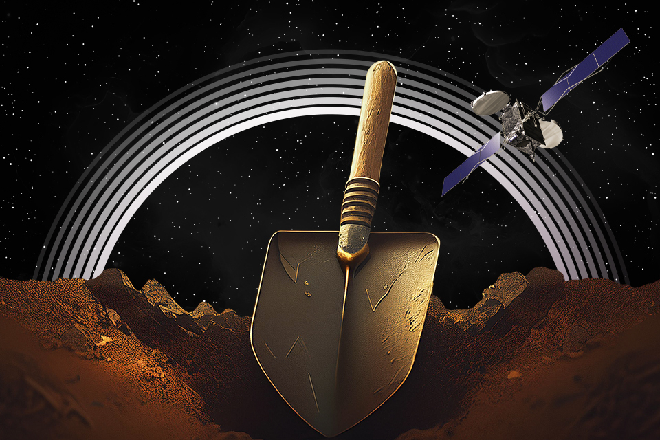
Why Archaeologists Need Satellites
These days, satellite images are finding use in many industries, from agribusiness to defense. On some occasions, data collected in space also comes in handy in what seems to be completely unrelated fields. Archeology, for one.
The study of our cultural heritage through ancient artifacts is, without a doubt, essential to modern scientific knowledge. Through it, scientists are able to learn more about our past, and in particular the prehistoric period that has no surviving written records. Naturally, any new knowledge can only be acquired by systematic search, so archaeologists are always on the hunt for artifacts, digging inside the Earth’s depths little by little and recording each new find.
But how would you know where to dig? Places where ancient cities and temples once stood are now forgotten even by the locals. And, well, the Earth is big. And so, in the mid-20th century, archaeologists mastered a new method of locating potential sites through aerial photography. The reasoning behind it is sound: if we can’t see anything unusual from the surface, we might try our luck from the air.

Perhaps the best known example of this method being used to successfully uncover a new site is the Nazca lines. Although the existence of these lines on the Earth’s surface has been known since 1559, only in 1939 did we figure out that they were actual drawings of people and animals, all thanks to aerial photography.
So if aerial observations conducted only a few miles above the ground produce such great results, what happens if you go much higher than that? In 1967, this was the exact question posed by Antiquity magazine. Unfortunately, at the time, most high-resolution photographs of the Earth’s surface were in the hands of the military, while the best amateur technology could only produce images with resolution of about 80 meters.
First Satellite Imaging of the Earth’s Surface
Satellite imaging with visible light spectrum has several advantages over aerial photography. Shockingly, these are more accessible. In order to analyze large chunks of surface for any archaeological anomalies, you’d need to schedule regular aircraft flights. And when it comes to archaeologically relevant regions, this has always been difficult to do and still poses a problem now.

This primarily applies to the Middle East, where at any point, war either wages on or is about to break out. In the 1980s, it was through satellite images taken in orbit that gave us the first new archaeological discoveries in this region. At the time, scientists had access to satellites with spatial resolution of 30 meters per pixel, which is a pretty low resolution by today’s standards. Back then, it was enough to locate ancient canals in Egypt that no one knew existed.
The same method yielded another big discovery — the remains of an ancient city in Turkey. Soon, the technology moved on to multispectral satellite imaging, expanding the light range beyond the visible spectrum, namely with infrared and ultraviolet. This made finding remnants of ancient structures much easier, given that there was virtually no trace of them left on the surface.
For instance, an ancient wall that’s no longer there might still be partially preserved underground, which could prevent groundwater accessing plant roots and eventually affect their growth and color. By analyzing these features, multispectral satellites can locate potential excavation sites from orbit.

Until the 1990s, the search for archeological places of interest remained sporadic, since each picture had to be taken separately. Which was another huge advantage of satellites over airplanes — their ability to cover large surface areas at once.
Modern-Day Satellite Imaging
Everything changed in the 90s. At the end of the Cold War, the United States and Soviet Union declassified their satellite images taken in the 60s and 70s. Hundreds of thousands of them were uploaded online, leading to a significant boom in computer archeology. And understandably so: scientists now had the opportunity to study the surface of our planet almost in its entirety. Not only could you find potential sites from various visual clues, but also develop new theories directly from these images.
It all started with the search for Iram of the Pillars, the lost city mentioned in the Quran. As far back as the early 80s, scientists have analyzed images of the southern Arabian Peninsula and painstakingly reconstructed caravan routes. Research showed that the routes had been active between 2800 BC and 100 AD, and passed through the modern province of Dhofar in western Oman.

Based on this, scientists were able to organize an expedition to the locations of interest. There, beneath the ruins of an already known 16th century fort, they uncovered another site that many now consider to be the city of Iram.
By now, commercial satellites have both increased in number and boosted their resolution to 1.2-0.5 meters per pixel. The early 21st century marked the emergence of modern space archeology that primarily relies on the mass processing of satellite images. Sarah Parcak, who specializes in Egyptology, is considered one of the field’s pioneers.
Though she started as a regular graduate student in the early 2000s, by 2011, she already had 17 previously unknown pyramids under her belt, as well as a thousand tombs and nearly three thousand settlements, all thanks to remote sensing.

Today, these methods are widely used throughout the field. In 2023, while studying satellite images of Jordan and Iraq, archaeologists noticed three faint rectangle-shaped outlines arranged in a single file. They had regular shape, spanned hundreds of feet each, and stood 25 miles apart.
This turned out to be the shape of ancient Roman Legion camps. Their location clearly indicated that the army was on the march. The problem was, history records showed no campaign that matched this region. What scientists had on their hands was huge. Miraculously, satellites were able to find an entirely new military campaign that no one had heard of before.
Radar and LiDAR Satellites
Satellite imaging may be a good fit for exploring open areas like the deserts of the Middle East or vast fields in Europe. But how do you tackle archaeological objects beneath the surface, or even those buried in dense rain forests? Enter radar satellites. To be specific, satellites that use various radar sensing methods for laser imaging.

The basic principle of radar technology is to target a surface with electromagnetic pulses, and then measure the time it takes for the light to bounce back. This gives an idea of the type of object it came in contact with.
The earliest versions of this method were tested back in the 1980s. Back then, we only had basic radars at our disposal, so all we could do was send waves to bounce off the ground and, based on the results, create a static print of the target object. Now we have more advanced systems that use synthesized antenna arrays, taking into account their own parallax displacement during orbital movement.
Even so, modern archaeologists tend to prefer LiDARs — radars that use a narrow laser beam that rapidly scans the surface. In the 90s, these systems helped uncover a series of ancient buildings in the Cambodian jungle, near the famous Angkor Wat temple complex.
LiDAR archeology is mainly used in Central and South America, where the fascinating Maya and Inca civilizations once thrived. For the most part, their archeological footprint remains lost in the jungle. But thanks to LiDAR, more of these traces have been discovered in the last couple of decades than a century prior.

Satellite imaging systems have given archaeologists hope that we won’t run out of new, exciting places to dig for many years to come. In fact, it was LiDARs that helped us truly appreciate how much we still have left to explore.
So far, all extensive satellite search has been focused on the places with already well-known ancient civilizations, only a tiny fraction of the Earth’s surface. Meanwhile, vast areas that remain unexplored in the Americas, Africa, Asia, and even Europe may be hiding even more ancient ruins that could only be detected from orbit.
Moreover, the vast majority of sites discovered through satellite imaging and LiDARs in the past two decades have yet to be properly studied by professional archaeologists. Perhaps they’ll get their turn in another 20 or 30 years.
What’s even more fascinating, archaeologists can use satellite data not only for finding new places of interest, but also monitoring the already known sites. The latter is especially vital: these places remain under threat of both “tomb raiders” and the agricultural encroachment by people unaware of scientific treasures hiding beneath their feet.
