
Earlier this month, the European Space Agency (ESA) launched a new Earth observation satellite, Copernicus Sentinel-2C. It joins the already operational Sentinel-2A and Sentinel-2B to take high-resolution images of the Earth’s surface from an altitude of nearly 800 kilometers. These satellites record unique images of different parts of the planet.
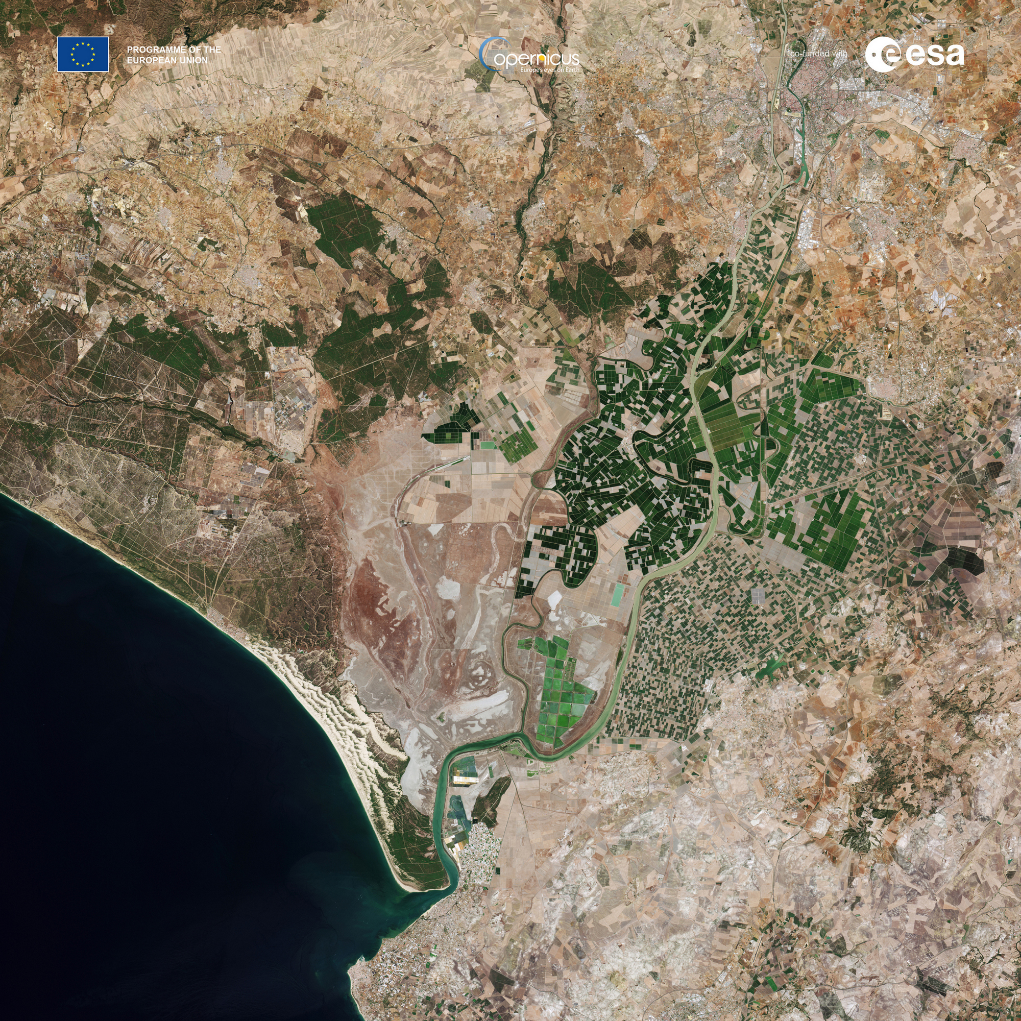
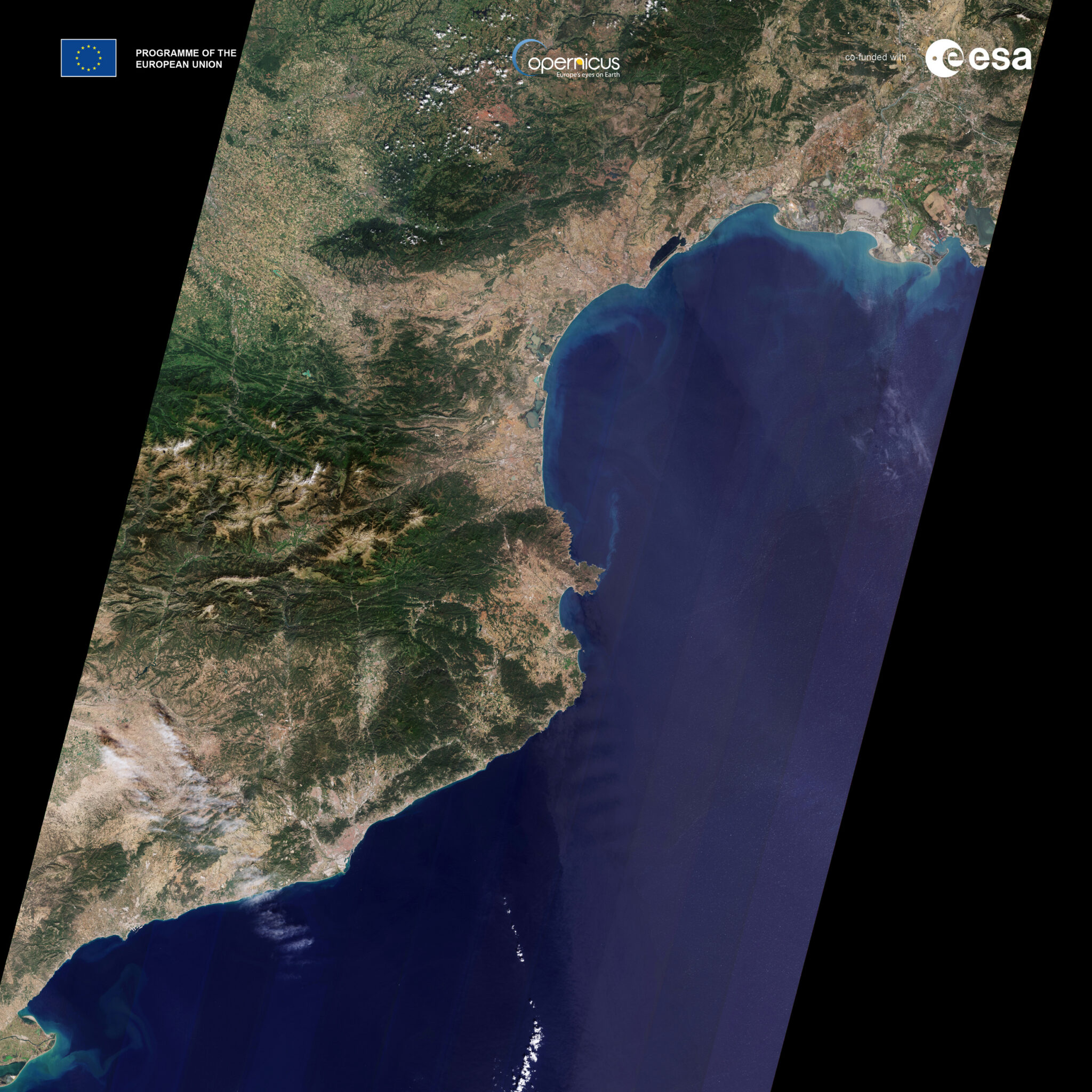
The first images from Sentinel-2C have already been released: they include views of European cities, the French coast and the consequences of wildfires in California. According to Simonetta Cheli, director of ESA’s Earth observation programs, these clear photos confirm the success of the mission. She also noted the future development of the program, particularly the launch of the new Sentinel-2 Next Generation series.
The Sentinel-2C satellite will be used to monitor agriculture, water quality, and respond to natural disasters such as forest fires, floods, and volcanic eruptions. Recent imagery shows the scale of the fires in California: natural and artificial color images of the area around Los Angeles taken on September 12 show active fire hotspots and burned out areas.
ESA engineers will spend three months calibrating the satellite’s instruments to improve the accuracy of the data obtained. According to Constantin Mavrocordatos, Sentinel-2 project manager, the satellite will make new discoveries that will help to better understand the state of our planet.
Earlier we reported about an infrared photo of Earth from space looking like a work of art.
According to ESA
