The XX century gave us many inventions that have forever changed our way of life. Television, computers, the Internet and mobile phones are some of them. But there is another technology without which modern society will not be able to function normally. These are global satellite positioning systems.
How to find out where we are
For most of human history, determining the current location remained a very non-trivial task. To solve it, you need to get two values: latitude and longitude. It was easier with latitude. In the northern hemisphere, it is sufficient to measure the angle between the horizon and the North Star. It is equal to the latitude of the observation site.
The situation with longitude is much more complicated. Various scientists and travelers have proposed several methods to determine it, but their implementation requires complex astronomical tools and calculations. The simpler method required comparing the local time with the exact one at the reference point (a place with already known coordinates), but the lack of reliable chronometers made its practical application impossible. It was not until the second half of the 18th century that fairly accurate mechanical clocks appeared, which made it possible to reduce the error in measuring longitude to an acceptable value.

The next important breakthrough was the invention of radio. If you point the antenna at two spaced beacons, the positions of which are already known, then using triangulation you can determine the current location. For a long time, this method was used to determine the coordinates of aircraft and ships.
After the launch of the first Soviet satellite in 1957, a group of American scientists tried to obtain a signal from its radio transmitter. After several observations, they found that due to the Doppler effect, the signal frequency increases when the device approaches the observer and decreases when it is removed. Finally, scientists realized that if you know exactly your coordinates on Earth, you can measure the position and speed of the spacecraft from a radio signal. Conversely, knowing the exact position of the satellite allows you to determine your own speed and coordinates.
For obvious reasons, the military became interested in this concept. As early as the late 1950s, the Pentagon began building the first TRANSIT satellite navigation system. Initially, it was intended exclusively for the needs of the navy, but within a few years it began to be used to solve some civilian tasks. The error in determining the position of a stationary object using TRANSIT was only 60 m, which was quite a good figure at the time.
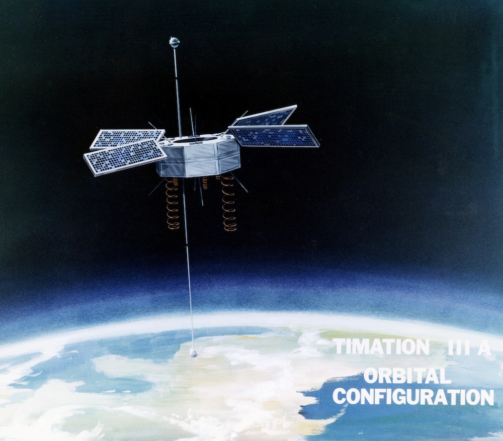
In 1967, the Americans conducted an important experiment to test the reliability of atomic clocks in space. Its success paved the way for the creation of next-generation navigation devices capable of providing much greater positioning accuracy. The project was named Navstar, but later in everyday life it became known as GPS (Global Positioning System). The first satellite of the system was launched in 1978.
GPS developers might not even imagine how widely their product would be used. The system was ordered by the Pentagon and, of course, the generals did not plan to share the latest development with ordinary citizens. That all changed after a Soviet fighter shot down a South Korean Boeing 747 in September 1983. As a result, US President Ronald Reagan allowed the use of GPS for civilian users to prevent a recurrence of such incidents.
“Desert Storm” has become a real star time for GPS. The system has fully demonstrated its effectiveness, making life much easier for the US military. Soldiers returning home bought GPS navigators to use at home. This encouraged manufacturers to create more compact versions of such devices.

It is worth noting that initially there were two GPS signals — the accurate one and the one with degraded performance. The former was intended for the US military, the latter — for all other users. But over time, operators have deciphered the accuracy reduction algorithm and learned to compensate for it. As a result, the United States completely abandoned this practice in 2000.
How GPS facilitates our everyday lives
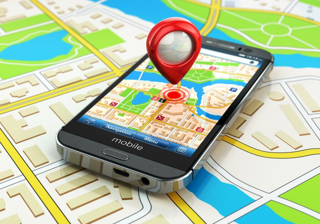
At first glance, GPS may not seem like such a critical technology — especially if you are not a soldier, rescuer, taxi driver or traveler. Most of us are more likely to associate global satellite navigation with route search, traffic jams tracking, and car booking mobile apps: of course, it’s convenient, but it’s not a necessity.
However, this impression is not true. Actually satellite navigation has long been used in various fields — from tourism to logistics. Thus, one of the most promising areas of GPS is to increase the efficiency of agriculture. Satellite trackers are very successful in helping to control the movement of special equipment and fuel consumption. They can also be used to determine the area of vacant and cultivated fields, to manage sowing of seeds and distribution of fertilizers, to control working time and more.
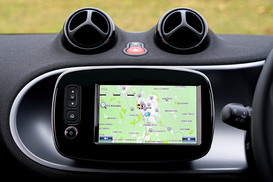
It is almost impossible to imagine the work of modern transport services without satellite navigation. GPS allows them to completely abandon paper cards. Satellites help to make the most optimal routes that allows to accelerate time of transportation of freights and to reduce expenses for fuel and service of equipment.
GPS has made possible the emergence of numerous modern services for vehicle rental — from bicycles to electric scooters. The use of satellite navigation is gaining popularity in the field of active recreation. Navigators allow you to better plan your route, capture turning points and even help you find promising places for fishing.
Global positioning is actively used by emergency services. Thanks to the trackers installed on the vehicles, the dispatcher can see the current location of all the crews on duty and call the nearest one. Systems are already under development that can fully automate this process.
Satellite navigation can also help a family find a relative with a bad memory. Personal GPS trackers allow you to monitor a person’s actual route and determine their position in case they get lost or forget the way home.
In general, GPS has already become so deeply ingrained in our lives that if it suddenly stops operating for some reason, it can plunge the world into real chaos. For example, modern automated port cranes operate using a satellite signal. If it disappears, it will make it impossible for ships to unload normally, the usual supply chain will be interrupted, and factories will not receive raw materials, and shops— goods needed.
What’s more, GPS features have long been more than just geolocation. The system has long been used to determine the exact time. Navigation satellites are equipped with atomic clocks, the operation of which is fully synchronized. If for some reason they fail, it will lead to a number of very unpleasant consequences. The most obvious of these will be huge, many kilometers, errors in determining the position. But this is not the only thing.
GPS time synchronization is used in cellular communications. Thanks to it, calls are recognized. Without navigation satellites, mobile networks will simply fail. There will also be serious problems with banking transactions, stock trading, digital television and other services that use GPS synchronization. There will be disruptions in public transport, energy systems and various city services. The air transportation will be completely halted for a while. Every day without GPS will inflict losses to the world economy measured in billions.
It is hardly worth mentioning that in the absence of GPS, the combat effectiveness of many armies will be seriously reduced. Without global navigation, state-of-the-art drones, smart bombs and much of the ground equipment will be useless.
Prospects and alternatives for GPS
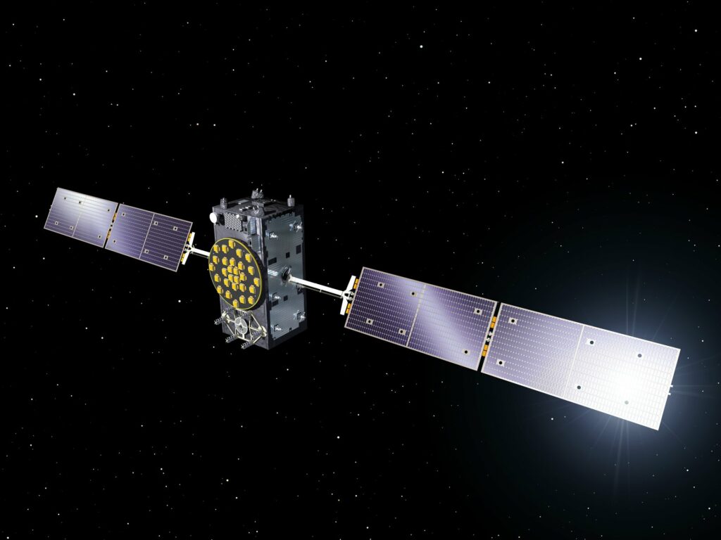
Not surprisingly, many countries are so eager to get their own navigation systems. In the XXI century, GPS has a number of competitors: in 2010 the deployment of the Russian GLONASS system was completed, in 2016 the European navigation system Galileo started working, and China developed its own analogue of GPS. The Chinese Baidou system became fully functional in 2020.
Some countries that cannot afford their own global navigation system are working to create regional versions of it. India comes to mind. The country recently completed the deployment of the IRNSS satellite system. It allows you to determine the location of objects in its territory, neighboring countries, as well as in the waters of the Indian Ocean.
The original GPS also does not stand still. In December 2018, the United States began deploying next-generation satellites (Block III version), which will gradually replace the old devices. They will increase the accuracy and reliability of the system. It is estimated that the cost of GPS upgrades will exceed $ 12 billion.
But despite all the benefits, it is impossible to say that the future of satellite navigation is completely cloudless. GPS is a kind of Achilles’ heel of modern civilization. In any military conflict between the leading powers, navigation satellites will probably be the first targets for the attack. It is hardly worth explaining the consequences of their destruction.
The existence of GPS can be threatened not only by hostilities. Do not forget about the sun. From time to time it produces powerful flashes that lead to superstorms. The most famous outbreak occurred in 1859. This incredibly powerful geomagnetic storm, which went down in history as the Carrington event, destroyed the telegraph systems of Europe and North America. According to many scientists, if a similar situation happened today, it could well lead to the complete collapse of navigation satellites.
A reasonable question arises: does humanity have any alternative to satellite navigation? Experts have long warned that too much enthusiasm for GPS can cost us dear, and urged Earthlings to develop alternatives. One of them is the eLoran ground-based radio navigation system. It can be used as a backup method to determine the coordinates of aircraft and ships. But, unfortunately, eLoran does not cover the entire planet. In addition, its accuracy is not enough to backup all the functions of GPS.
Another promising option is pulsar navigation. Its essence is to determine the coordinates using the radiation of pulsars — neutron stars formed by supernovae. They emit pulses in the radio and X-ray range with strict periodicity, which makes them good candidates for the role of natural beacons.
Unfortunately, pulsar navigation also cannot replace GPS. To receive a signal from a pulsar, you need to have a large enough antenna. This technology could be used to determine the position of aircraft and ships — no more.
So, today there is no full-fledged alternative to satellite navigation. This means that there will always be a certain risk that the system will be disrupted. Of course, we cannot contest the Sun, but at least humanity can make every effort to prevent man-made actions that could jeopardize the operation of GPS.
