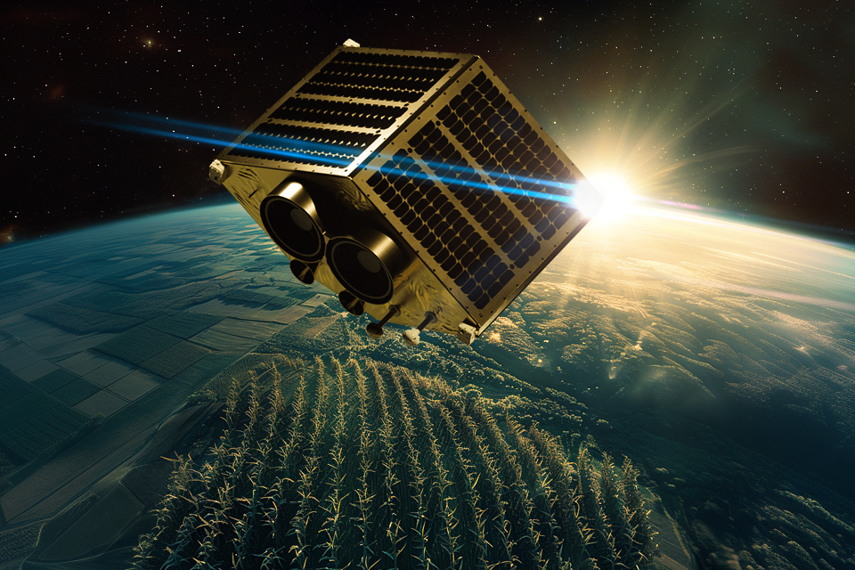
Agricultural monitoring satellites are one of those devices that can turn agriculture into a modern high-tech industry. They allow us to find out the condition of any field on the Earth’s surface. This achievement may seem insignificant, but in fact it plays a key role in ensuring the world’s food security.
The most profitable business of the 21st century
Everyone knows that in the 21st century, the most important commodities are electronics, software and weapons. However, in reality, the importance of all of them is dominated by another product — food. It seems simple only at first glance.
The number of people on Earth continues to grow. At the same time, they all want to eat enough, and achieving this state already seems to be one of the most important achievements of human civilisation. And this is despite the fact that the agricultural industry is still the most dependent on the vagaries of nature.
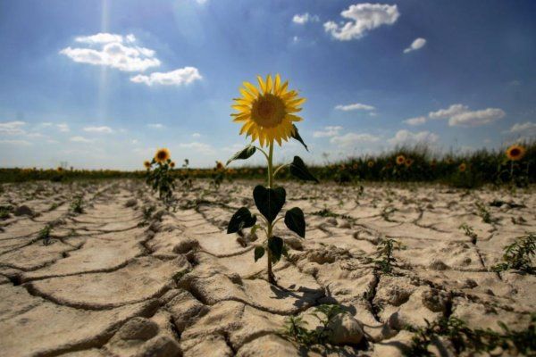
Rains, drought, viruses and bacteria, soil depletion — all of these could easily destroy crops in the best of times. But now the climate is changing, not least because of human activity. It is no longer possible to plough up virgin land and maximise its use. At best, this will yield meagre results, and at worst, it will lead to disaster.
That’s why the future of agribusiness is all about using what we have efficiently. And this is impossible without constant monitoring of huge areas. And this is where the companies that look down on it all come to the aid of people working on the ground.
Who knows best about the state of the fields?
At first glance, no one can know better about this year’s harvest than the people who are growing it. But in reality, this is not the case. People are small, and fields are huge. Even if an agronomist visits thousands of hectares of land in a week, he still won’t be able to quickly put all the information together in his head to indicate exactly where the danger is coming from.
This requires a top-down view, the creation of electronic maps and constant computer processing of data from them. After all, some problems that can potentially not only ruin an individual farmer but also cause problems on the global food market can be predicted in advance. But to do this, you need to constantly look around each field and notice tiny changes that are visible only when you carefully compare two sets of data.
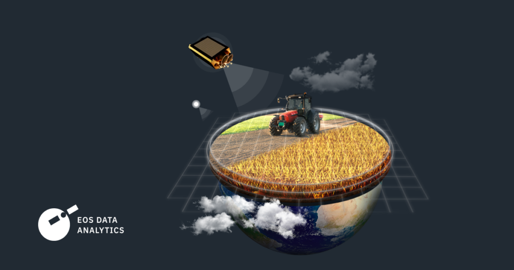
Today, there is no better way to provide all farmers in the world with such information than through the use of agricultural monitoring satellites from EOS Data Analytics. Unlike aeroplanes, the satellites already in orbit do not require fuel to collect data from every field on the planet.
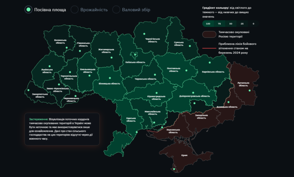
This is exactly the service offered by EOS DA, a company that uses its own EOS SAT satellite to monitor fields in the visible and infrared bands. The company also extracts information from satellites launched by other operators. For Ukrainian farmers who are going through difficult times due to the war, this service is provided free of charge through the EOS Crop Monitoring platform.
This is essentially an online service that allows its customers to receive analysts’ opinions on their fields based on regular satellite imagery of these areas. Around the world, farmers pay a lot of money for such services, but Ukrainian farmers just need to fill out a form.
How satellites see drought
Of course, “satellite field monitoring” sounds very cool. But does such a service really make sense? Is it really possible to live without it? The answer to this is easy if we remember that the main enemy of agriculture in the 21st century is the lack of water. The climate in Eurasia and North America is becoming drier, and aquifers are being depleted.
All these abstract scientific facts start to play a significant role in the life of a particular farmer in the second half of summer. The rains give way to sunny days and the crops and vegetables begin to dry out significantly. And the farmer begins to decide, based on his own experience, whether to harvest them now or to postpone this process for a week, and then, you know, it will rain again and the harvest will improve.
It is very easy to make a mistake in an environment where the rainfall is not the same as 20 or 50 years ago, and the varieties of crops are no longer the same. And every wrong decision can lead to big losses.
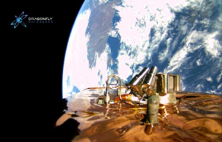
And this is where agricultural monitoring satellites come in. The thing is that their images are not fully photographs. The satellites’ sensors pick up electromagnetic waves in a wide range of wavelengths, from ultraviolet to infrared. In essence, they collect data on the intensity of reflected radiation at certain frequencies.
The most important is the narrow range just beyond the visible red colour. It is in this range that healthy, moist leaves reflect the sun’s rays most intensely, so the glare on these waves can be used to accurately assess whether the plant is getting enough moisture or whether a lack of water has already begun to affect its health. Moreover, this indicator can be assessed for an entire field or even a group of fields. And the conclusion will be more accurate than that of any experienced farmer.
How satellites help fight pests and weeds
The same can be said about two other important challenges for the modern farmer: pest and weed control and soil depletion. Both require prompt intervention from the farmer at a clearly defined time. Satellite monitoring from EOS DA will also help to determine it. The available methods allow not only to see that something is wrong with the field, but also to determine the nature of the potential threat.
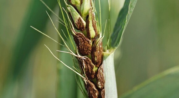
After all, the use of fertilisers to increase yields and insecticides to control pests should be used in moderation. Not only can it harm the environment and human health, but it can also ruin the business of the field owner.
Modern agribusiness is very sensitive to rising costs of growing crops. The global food market relies on accurate forecasting. Even before the grain ripens in the fields of Ukraine, traders will already know how it will be transported, where it will be resold and in which country the end consumer will be.
And if a farmer does not have satellite data, it does not mean that those who buy grain from him do not have access to it. Using this technology means speaking on an equal footing with your business partners.
Satellite-based monitoring of agribusiness is important not only for individual farmers but also for governments, especially those with a significant share of agricultural exports.
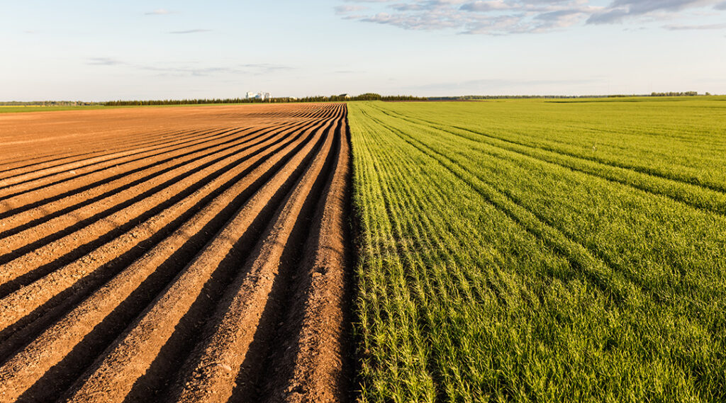
The development of this sector always involves systemic solutions at the interface of plant cultivation, ecology, biotechnology, financial policy and law. They cannot be simple and must be based on a comprehensive scientific assessment of how agriculture interacts with the environment.
And only satellites can fully fulfil this task. That is why the agriculture of the future must transform from a traditional low-tech business into a high-tech one.
Agricultural monitoring satellites cannot protect Ukrainian fields from fires caused by Russian shelling. There are other devices for this, such as ICEYE, which is used by the Defence Intelligence of Ukraine. But they are quite capable of saving crops from other dangers.

