
The global agricultural market is going through challenging times. Russia’s large-scale invasion of Ukraine has had a huge impact on its landscape, disrupting long-established supply chains and shifting demand.
All this requires agricultural producers to find new solutions. One of them is “digitalization”: the use of innovative technologies to increase crop yields. One of the most interesting innovations is satellite agro-monitoring. We tell you about the prospects of this direction and what opportunities it opens up for business.
Challenges of the XXI century
Although our global population growth rate has slowed slightly, it is still quite high. The human population is increasing by 0.87% annually. According to the latest estimates, 8.5 billion people will be living on Earth by 2030. This is despite the fact that already nearly 800 million people are regularly undernourished — and 280 million, starving.
The times when food shortages could be solved by simply increasing arable land are in the distant past. Now their area increases by only 0.37% annually and the situation is unlikely to change much in the foreseeable future. All of this puts a huge strain on the global food market, driving up prices, which in turn makes it increasingly difficult for people in the poorest countries to buy food.
In this situation, actually the only way to solve the problem of food security is to introduce innovative methods to maximize returns and yields. And satellite agro-monitoring is one of them.
Advantages of satellite agro-monitoring
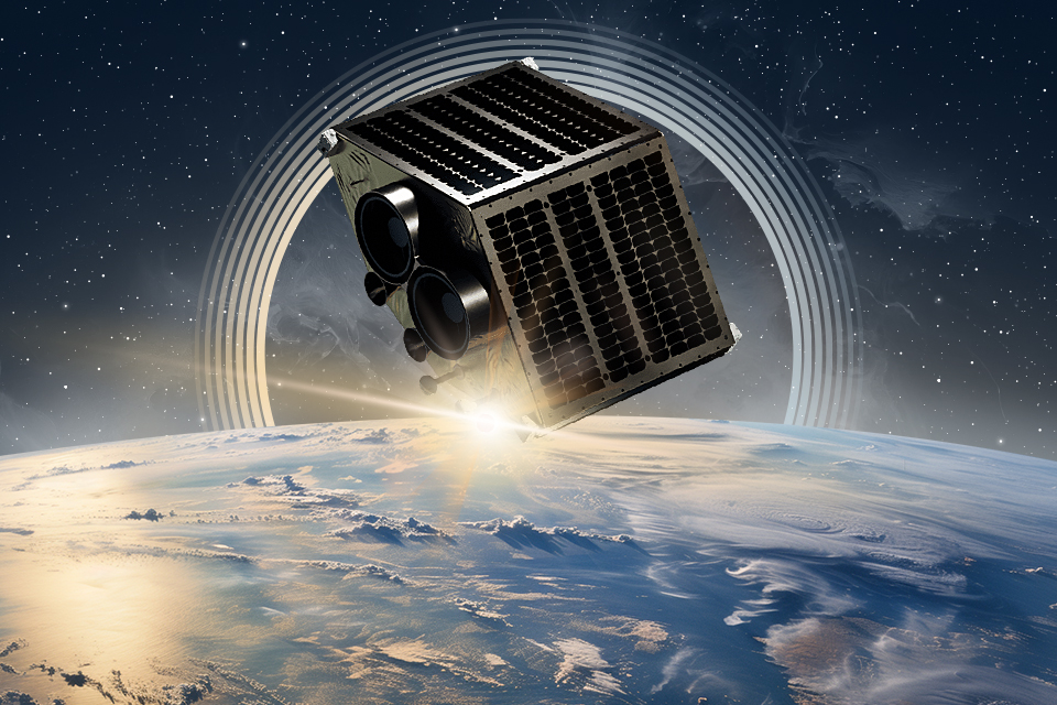
Certainly, satellites have long played a role in agriculture. One example is the same weather forecasts, without which it is already almost impossible to imagine our daily life. However, it is only in recent years that spacecraft have become full-fledged tools that can be applied to agriculture. This has been made possible by the advent of standardized satellite platforms, lower launch prices and increased reliability. All these factors made the creation of specialized constellations of vehicles designed for agro-monitoring a reality.
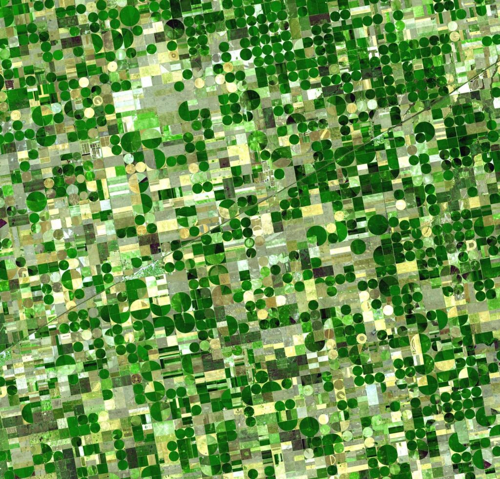
At first glance, the tasks solved by satellites can be accomplished using traditional methods. But this is not the case. Spacecraft offer a number of important advantages. The most obvious of these is the tremendous visibility. The satellite is able to conduct a single survey of large areas and areas that are widely spaced apart, which is much faster and more efficient than traditional traversal or even the use of drones.
Thanks to satellite imagery, it is possible to estimate the size of fields, find unregistered farmland, crop rotation anomalies and analyze the distribution of crops across different regions, which is relevant for both landowners and government agencies. Satellites can monitor in real time the condition of crops and the extent of agronomic work (plowing, harvesting, etc.). All this allows market players, including insurers, national companies, as well as foreign investors, to better assess the real state of affairs and spend their resources more efficiently.
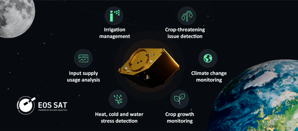
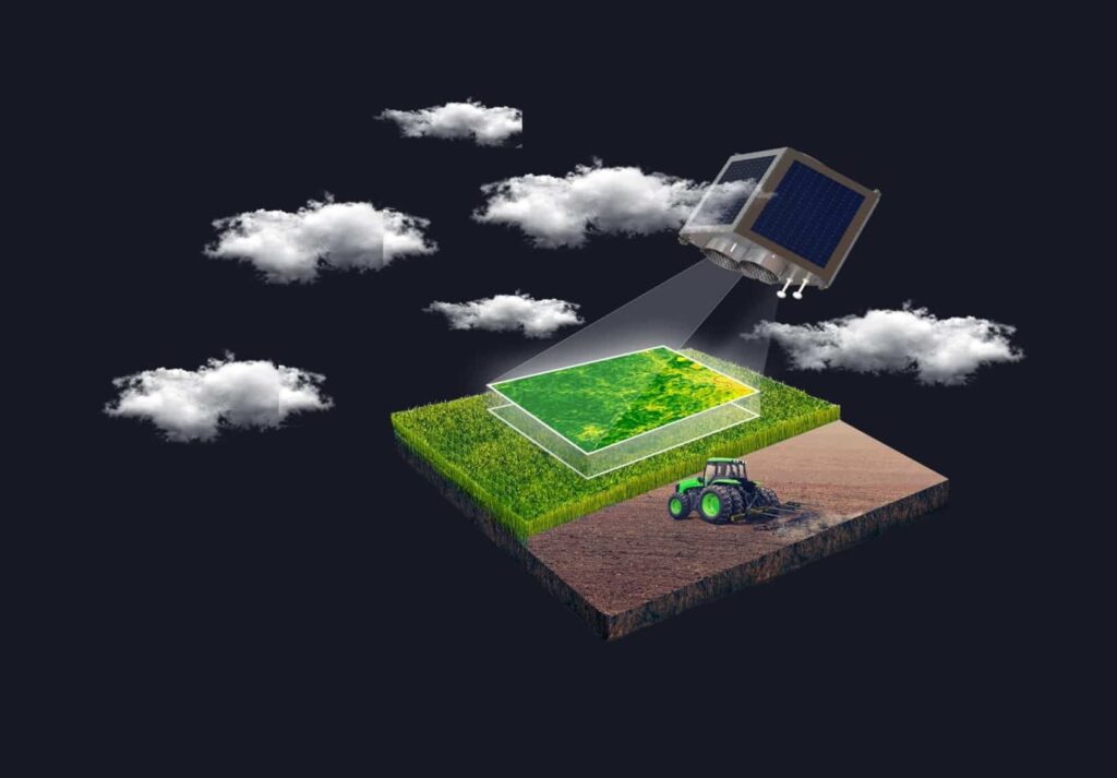
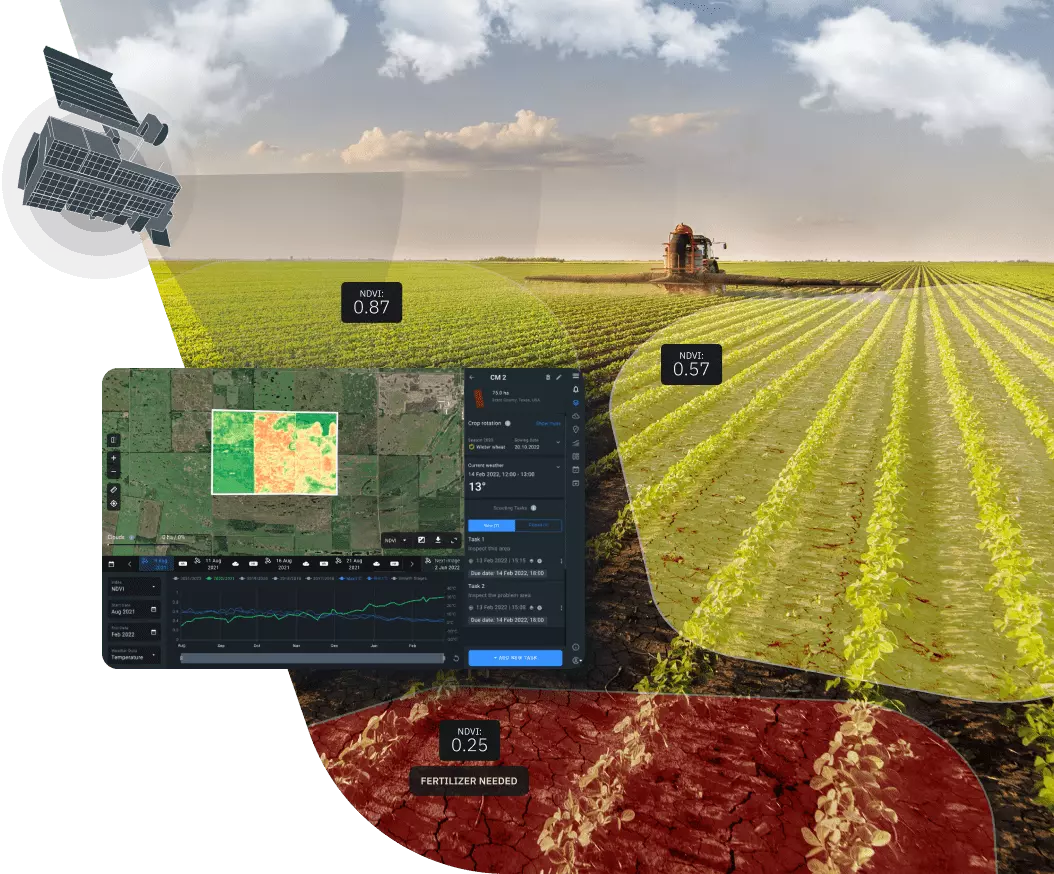
Another key advantage of satellites is their multispectral capability. Spacecraft can survey at different wavelengths of the electromagnetic spectrum, collecting the maximum available information. This makes it possible to monitor crop growth and detect drought, frost or excessive soil moisture, weed spread, pest attack and other problems that threaten crops.
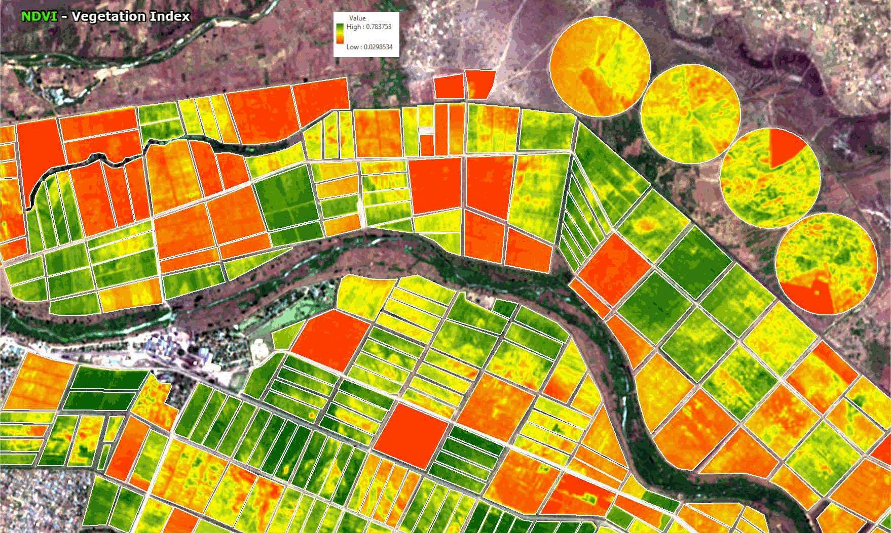
Moreover, the data collected by satellites can then be processed using digital tools. This makes it possible, for example, to create yield maps that help to test the effectiveness of new fertilizers and crop protection products, avoid unnecessary field detours and thus reduce fuel consumption and manage irrigation more efficiently. The latter is especially relevant against the background of the increase in the cost of production resources observed in recent years.
And, finally, no one removed from satellites the task of providing accurate meteorological information. It can be critical in agricultural decision making.
Prospects of the satellite agro-monitoring market
That’s the theory. What is the current state of the agro-monitoring satellite market?
As of 2023, satellite-based agro-monitoring had a share of $0.38 billion. At first glance, this is relatively small compared to the total volume of the “digital” agricultural market ($20.9 billion). Such a ratio is explained by its novelty, a rather high entry barrier due to the need to use technologies that are still unfamiliar to the mass user.
Nevertheless, this segment shows a steady growth, increasing by 6.82% annually. The satellite agro-monitoring market is expected to reach USD 0.61 billion by 2030.
The largest growth is expected to come from Asia-Pacific countries, primarily India and China, which are now the most active adopters of smart technologies. Another rather curious trend is that a significant proportion of new users are women. This clearly demonstrates how new technologies change a market that has always been seen as traditionally male-dominated.
Overall, there is little doubt that as new satellite constellations are deployed and mass-user-friendly tools become available, the agro-monitoring market will continue to grow. In a situation where the world’s population continues to increase much faster than the amount of arable land, agricultural producers have few alternatives to digitalization. So it can be predicted that in the near future, satellite-based agro-monitoring will become a standard tool that will be used by producers on a par with traditional technologies.
Promo
